
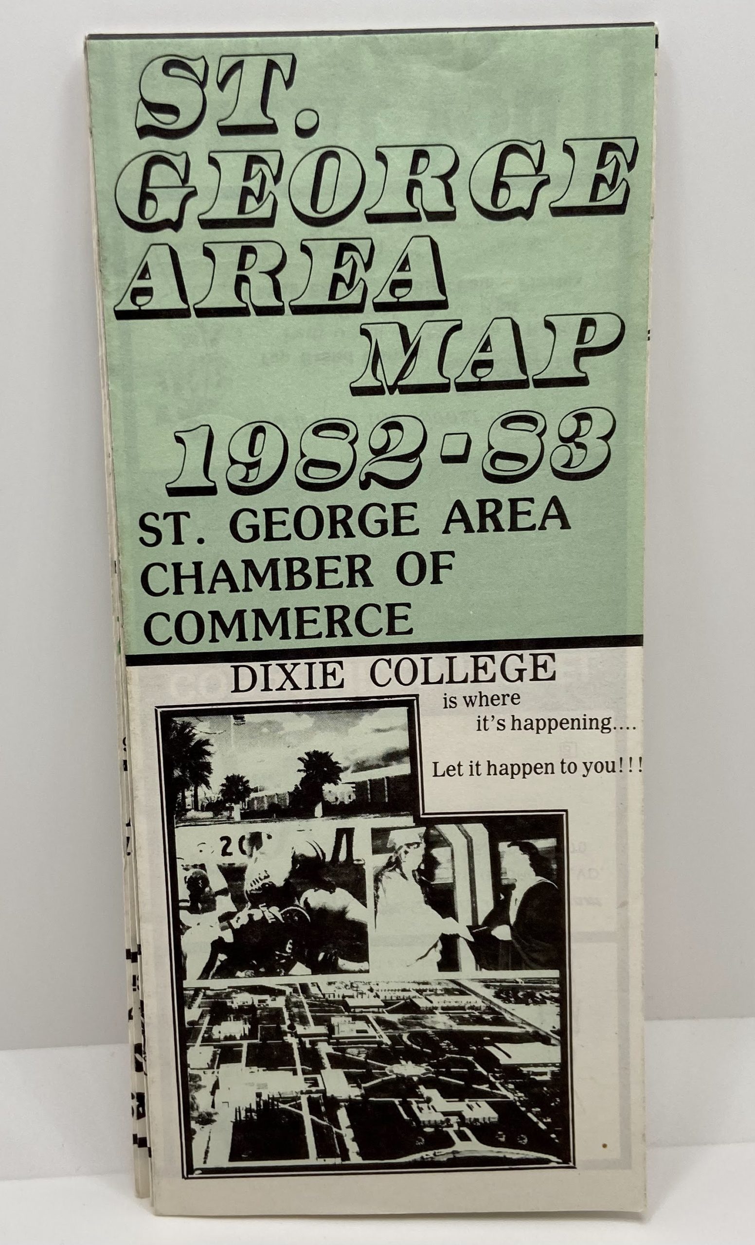
St. George Area Map 1982-1983
$4.99
St. George Area Map 1982-1983
Folded map with some writing inside.
V1 1900L VR20
1 in stock
Related products
-
Geologic Map of the Crouse Reservoir Quadrangle, Utah (Map GQ-1554)
$10.00 Add to cart -
Geologic Map of the Causey Dam Quadrangle, Weber County, Utah (Map GQ-790)
$10.00 Add to cart -
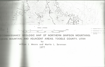
Reconnaissance Geologic Map of Northern Simpson Mountains: Map MF-905 – William J. Moore & Martin L. Sorensen
$20.00 Add to cart -

Relief Society Memories of St. George Stake: 1867-1956 (1956) ~ Compiled by Verna L. Dewsnup, and Katharine M. Larson
$22.50 Add to cart -
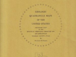
Geologic Map of the Dugway Proving Ground SW Quadrangle, Utah (Map GQ-992)
$9.99 Add to cart -

Michigan State Transportation Map ~ Signed by Governor Rick Snyder
$10.00 Add to cart -

Geologic Map of the Stuntz Reservoir Quadrangle, Utah-Colorado (Map GQ-1530)
$10.00 Add to cart -

Geologic Map of the Mills Junction Quadrangle, Tooele County, Utah (Map GQ-924)
$10.00 Add to cart -
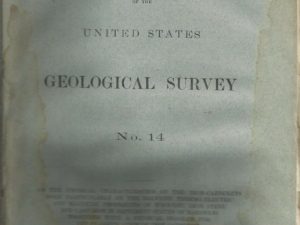
1885 — Bulletin of the United States Geological Survey No. 14
$20.00 Add to cart -
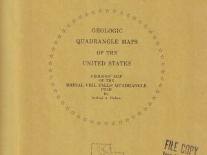
Geologic Map of the Bridal Veil Falls Quadrangle, Utah (Map GQ-998)
$10.00 Add to cart