
Maps
Showing 41–60 of 270 resultsSorted by latest
-
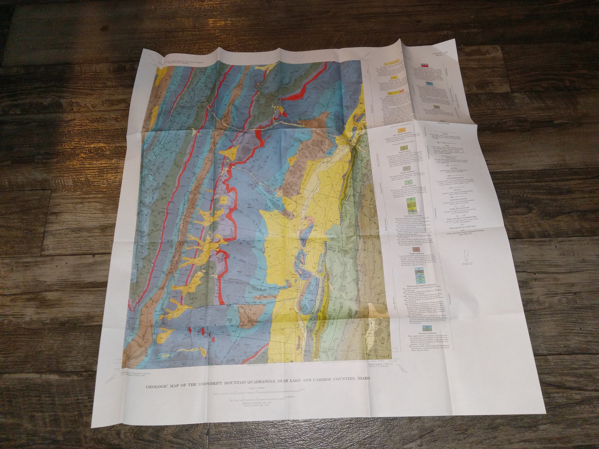
Geologic Map of the Snowdrift Quadrangle, Bear Lake and Caribou Counties, Idaho (1955) ~ by E. R. Cressman
$19.00 Add to cart -
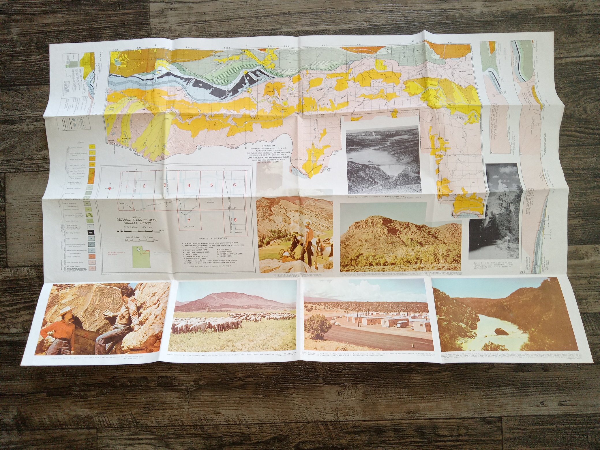
Geologic Map of Daggett County (Fold-Up Map) (Unknown Publishing Date) ~ by Howard R. Ritzma
$19.50 Add to cart -
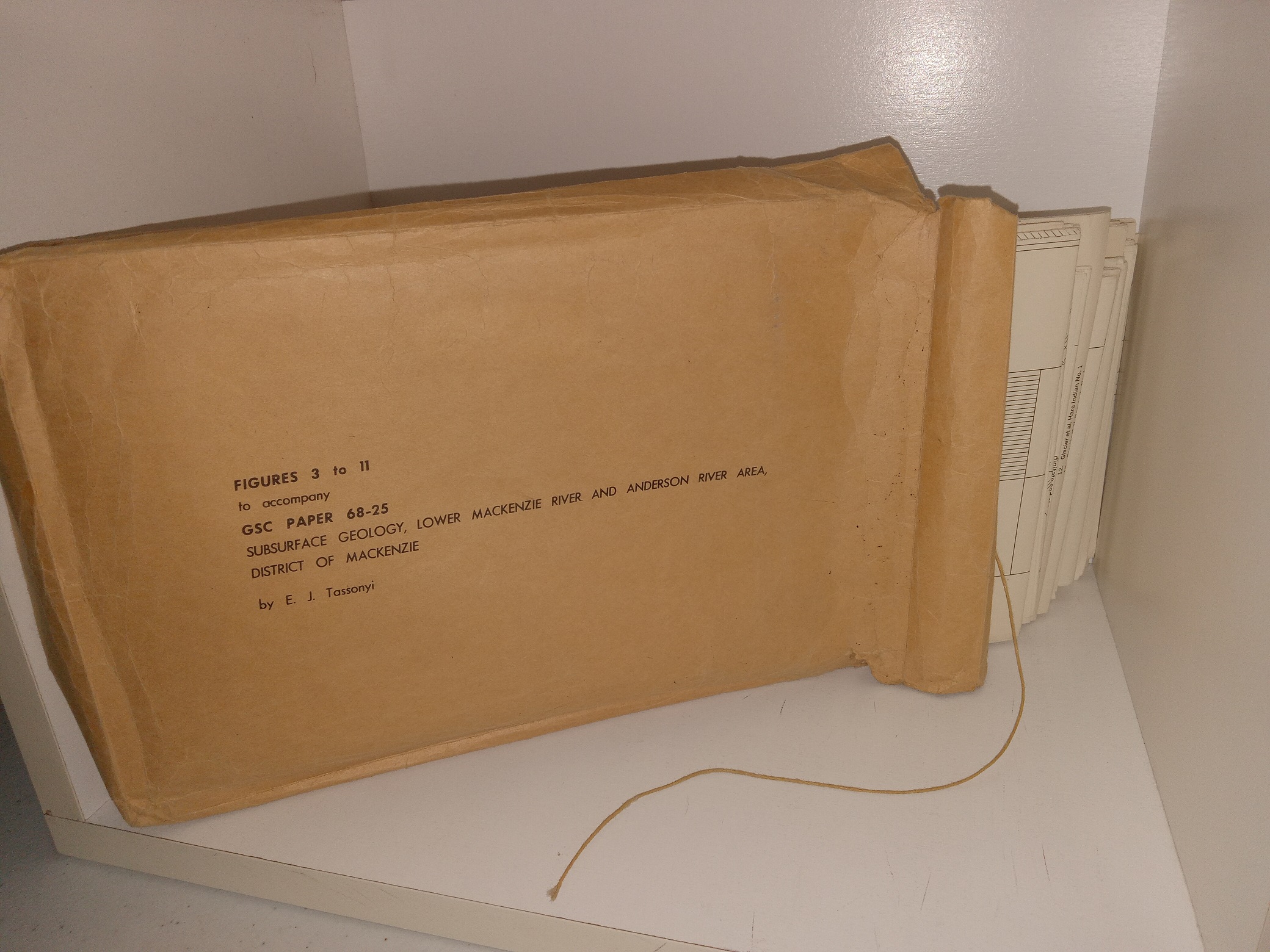
Figures 3 to 11 to Accompany GSC Paper 68-25: Subsurface Geology, Lower Mackenzie River and Anderson River Area District of Mackenzi (9 Maps/Charts) (Unknown Publishing Date)
$15.00 Add to cart -

News Map: Industrial Edition: The War Fronts (Fold-Up Map) (1944)
$35.00 Add to cart -
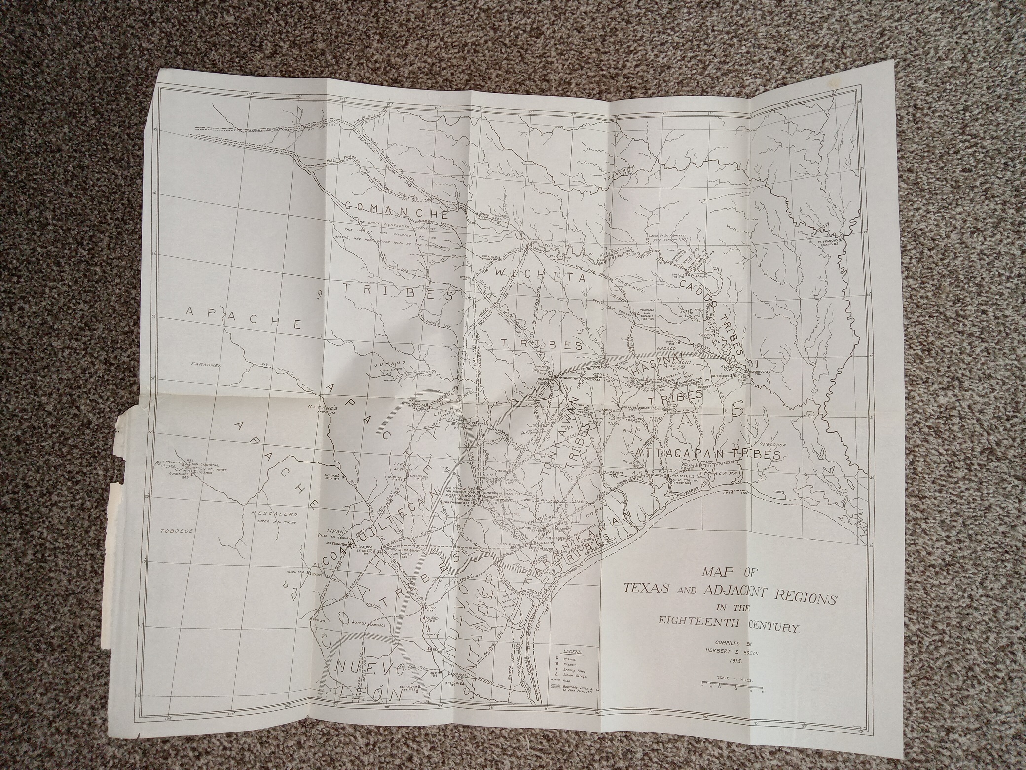
Map of Texas and Adjacent Regions in the Eighteenth Century (1915) ~ Compiled by Herbert E. Bolton
$25.00 Add to cart -

Sugar House Quadrangle Map (Fold-Up Map) (1952) ~ Unknown Cartographer
$25.00 Add to cart -
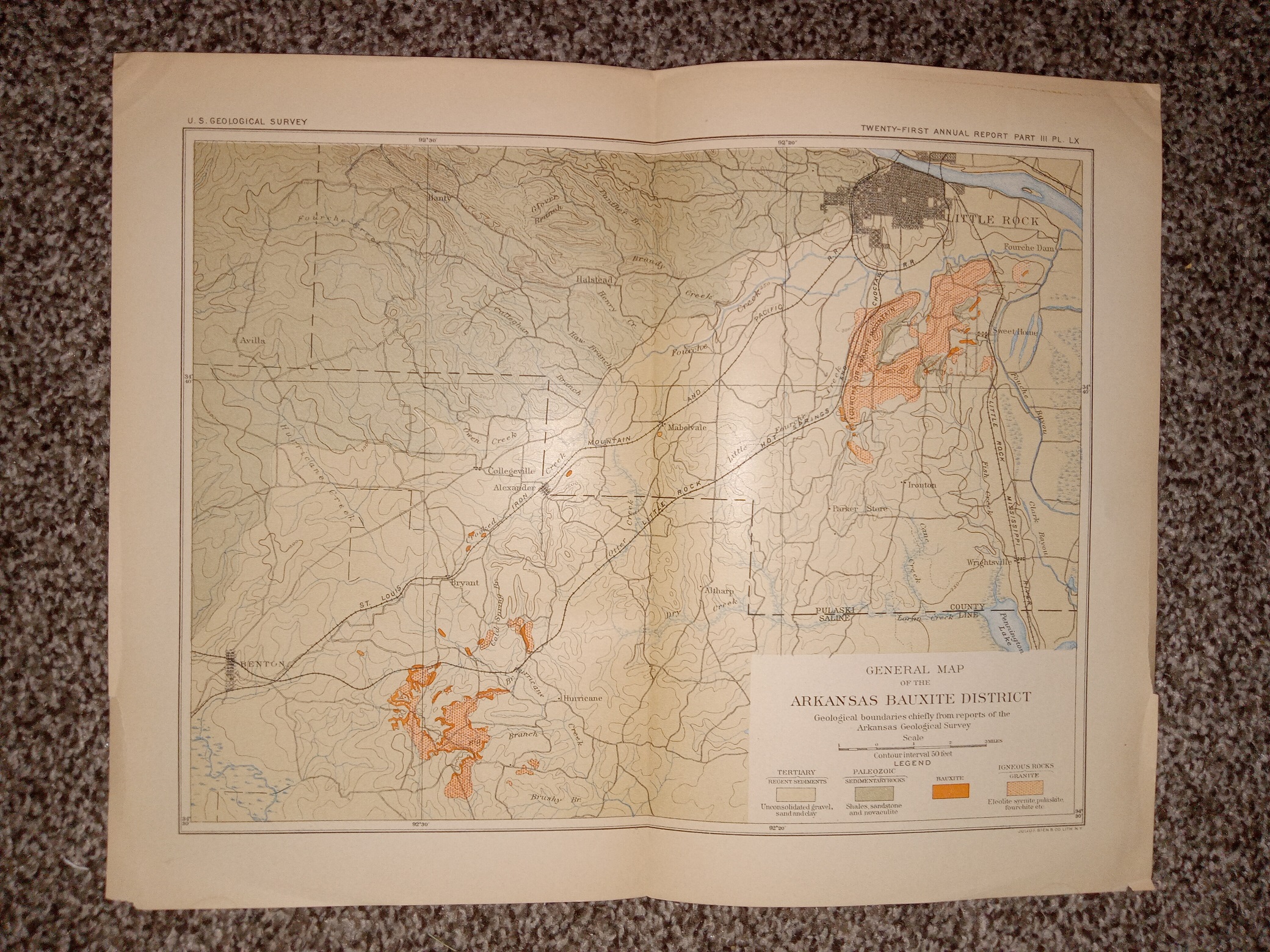
General Map of the Arkansas Bauxite District (Fold-Up Map) (Unknown Publishing Date) ~ Unknown Cartographer
$20.00 Add to cart -
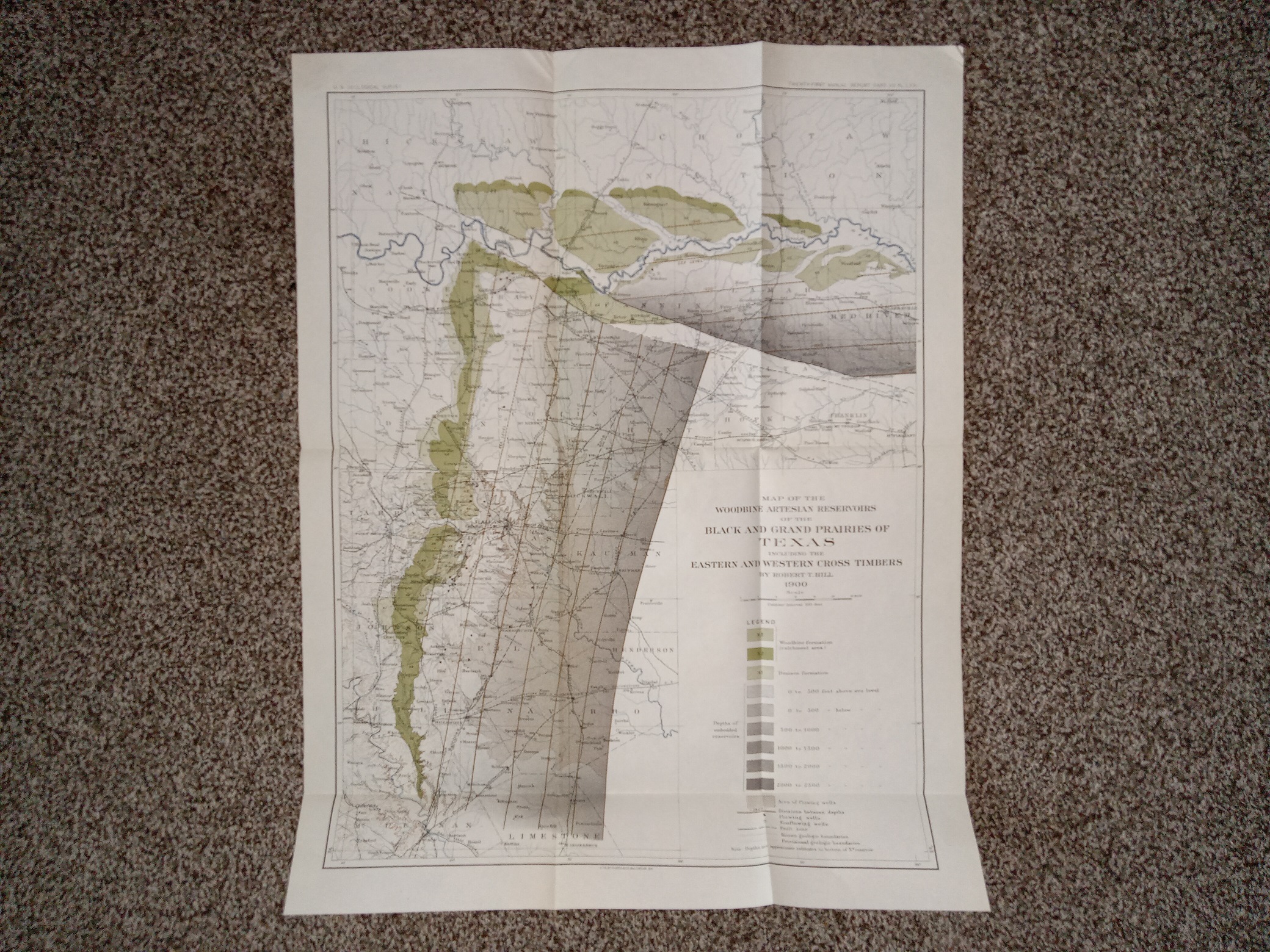
Map of the Woodbine Artesian Reservoirs of the Black and Grand Prairies of Texas Including the Eastern and Western Cross Timbers (1900) ~ by Robert T. Hill
$25.00 Add to cart -
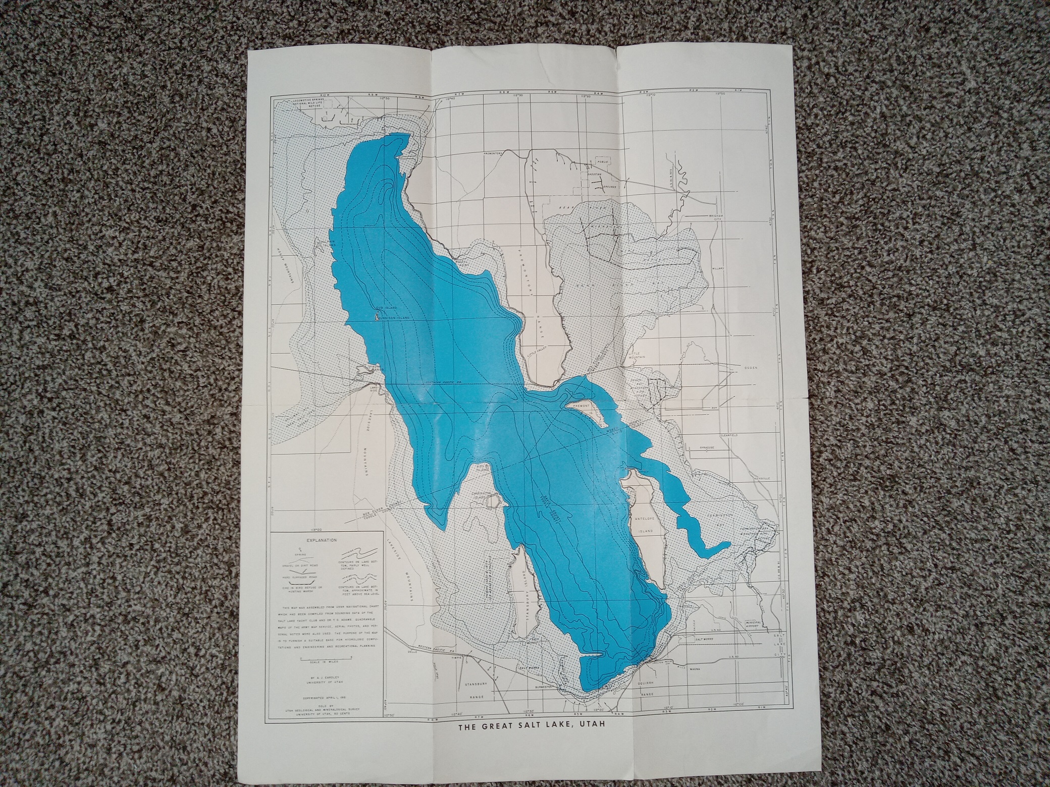
Map of the Great Salt Lake (Fold-Up Map) (1961) ~ by A. J. Eardley
$19.50 Add to cart -
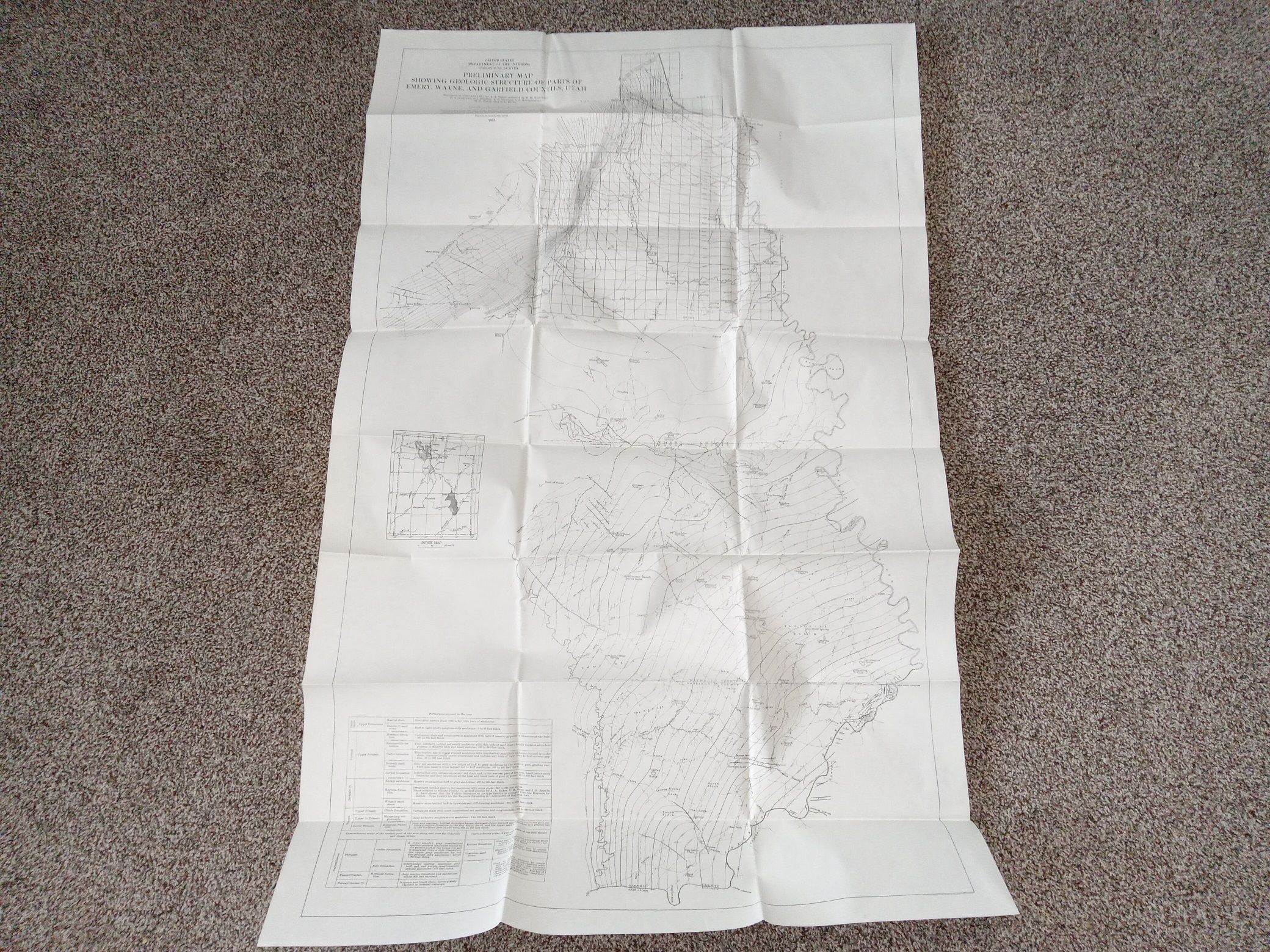
Preliminary Map Showing Geologic Structure of Parts of Emery, Wayne, and Garfield Counties, Utah (1933) ~ Surveyed by A. A. Baker, Assisted, by M. M. Knechtel, D. A. Andrews, A. J. Eardley, L. G. Henbest, L. S. Bumgardner, H. D. Curry and R. L. Miller
$17.50 Add to cart -
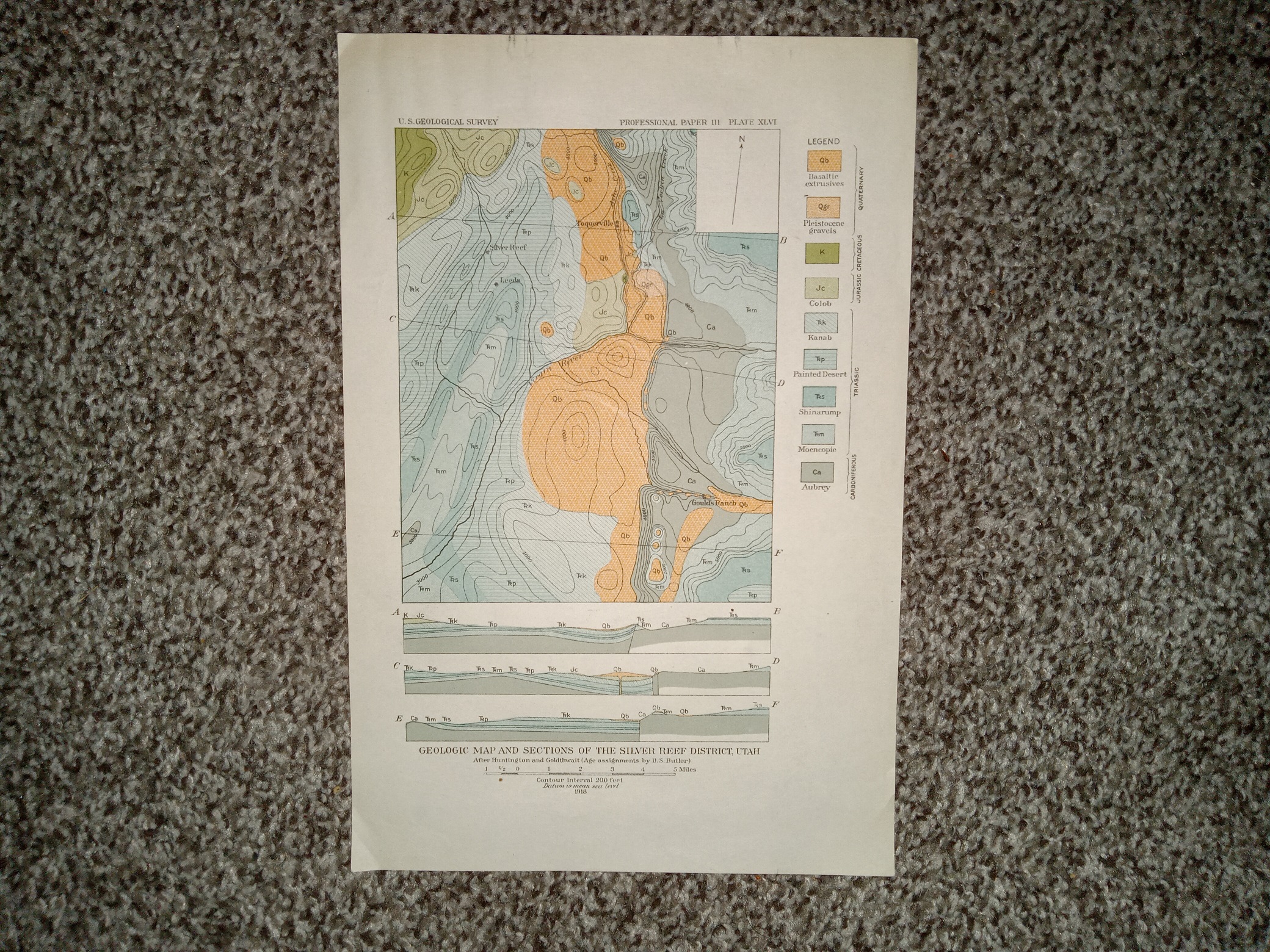
Geologic Map and Sections of the Silver Reef District, Utah (1918) ~ Unknown Cartographer
$8.00 Add to cart -
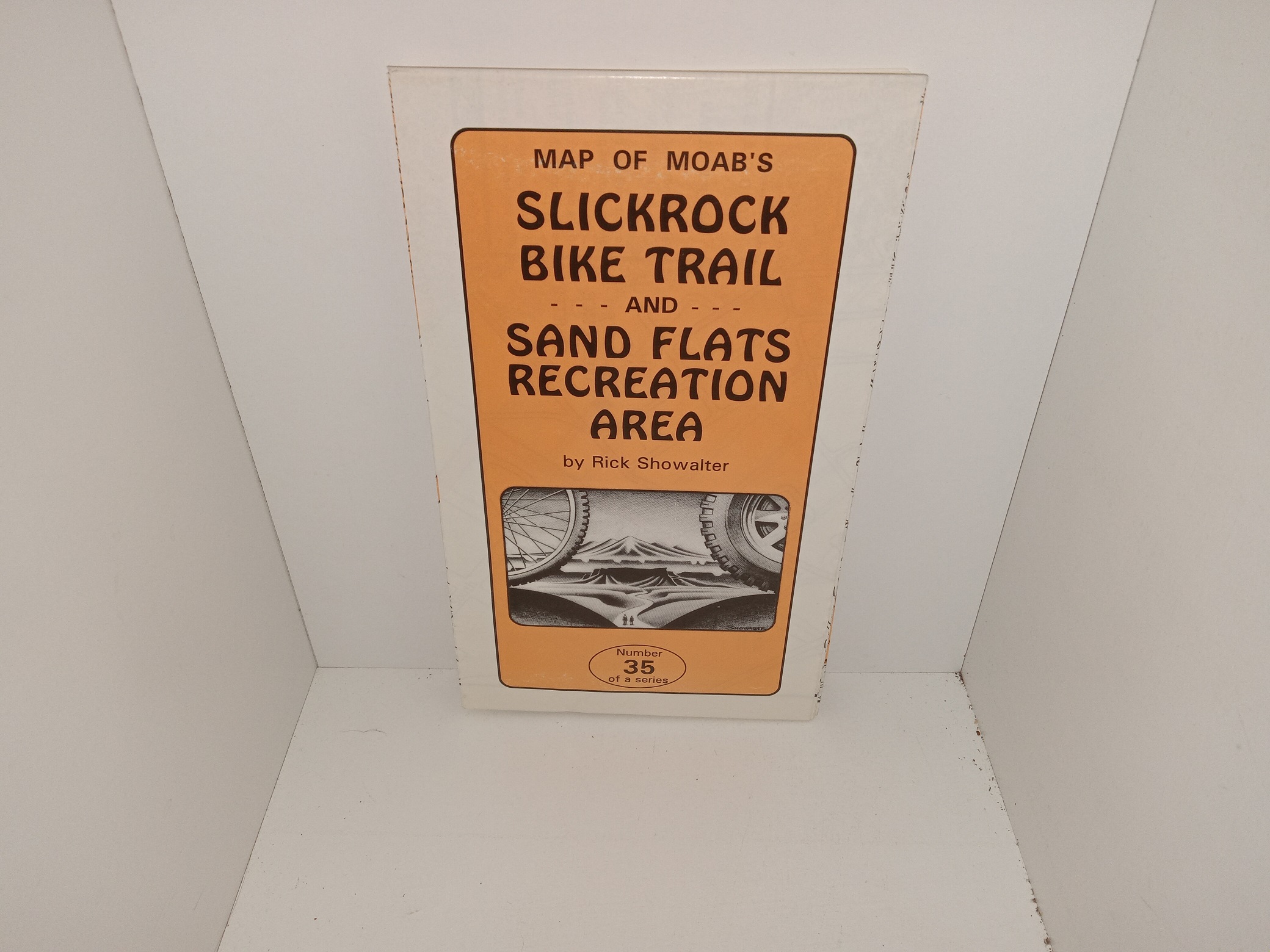
Map of Moab’s Slickrock Bike Trail and Sand Flats Recreation Area (Double-Sided, Fold-Up Map) (1994) ~ by Rick Showalter
$15.00 Add to cart -
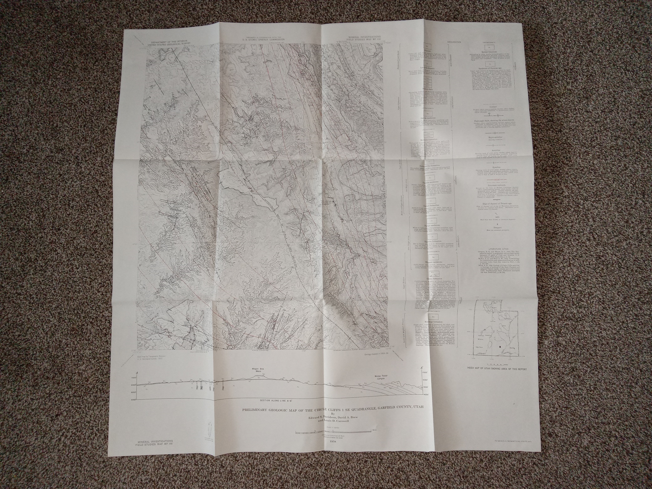
Preliminary Geologic Map of the Circle Cliffs 1 SE Quadrangle, Garfield County, Utah (Fold-Up Map) (1958) ~ by Edward S. Davidson, David A. Brew, Louis D. Carswell
$15.00 Add to cart -
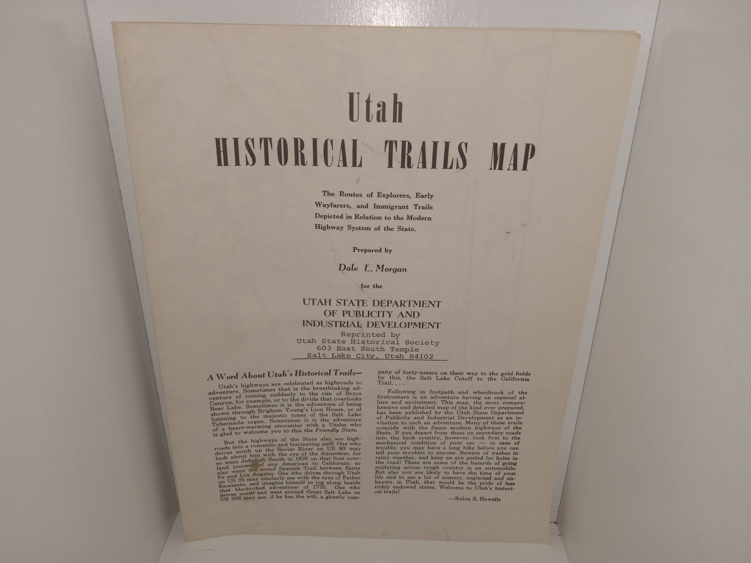
Utah Historical Trails Map (Fold-Out Map) (1948) ~ Prepared by Dale L. Morgan
$195.00 Add to cart -
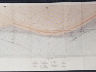
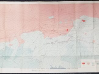
1930 — Topographic and Geologic Map of the Mascot Group, Blaine County, Idaho — Bulletin 814. Plate 25 / 19″ x 37″
$125.00 Add to cart -
1930 — Topographic and Geologic Map of the Property of the New York-Idaho Exploration Co., Blaine County Idaho — “Eureka Mine” — 44.5″ x 19.5″
$125.00 Add to cart -
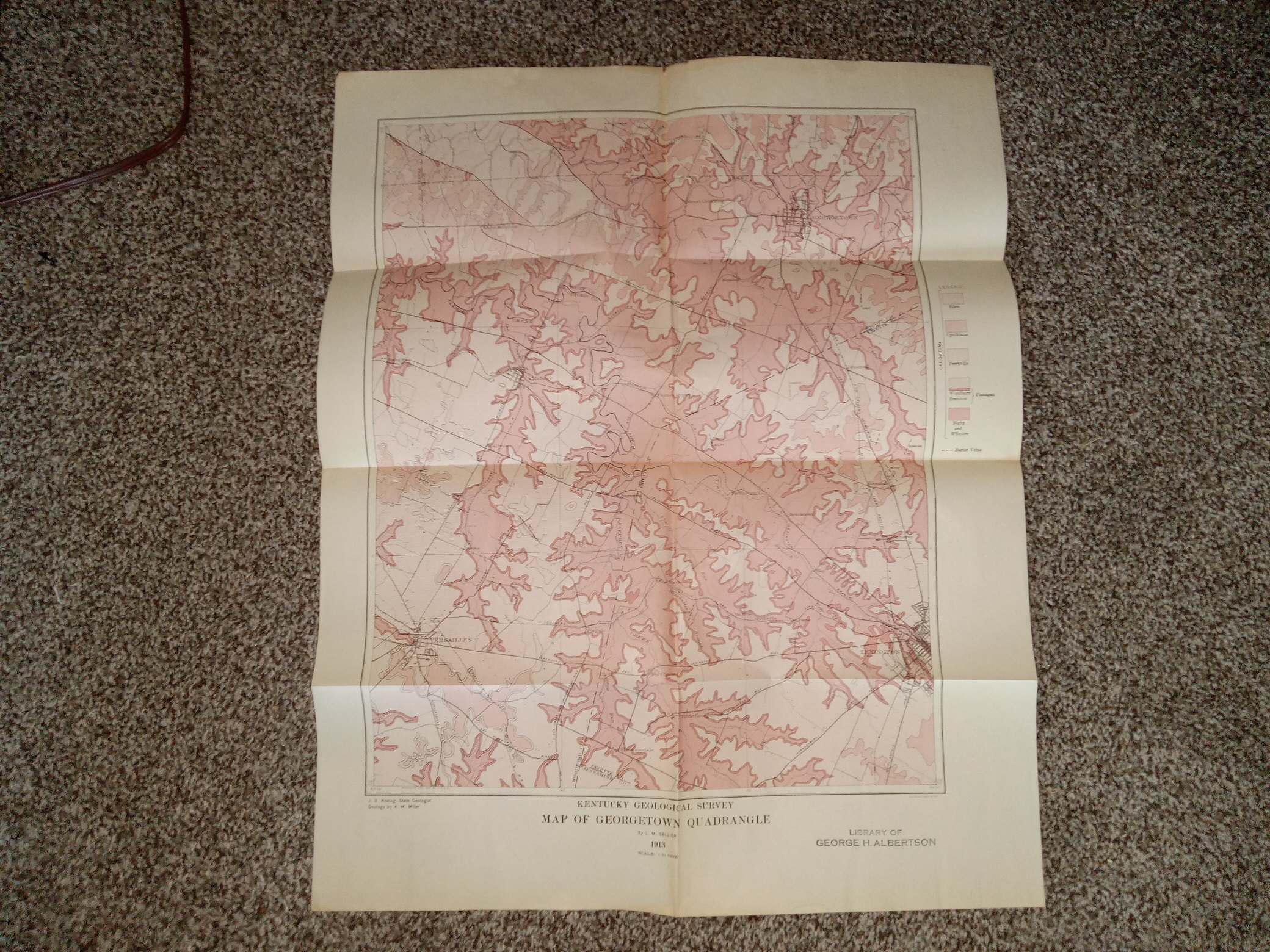
Kentucky Geological Survey: Map of Georgetown Quadrangle: 1913 (Fold-up Map) (1913)
$20.00 Add to cart -
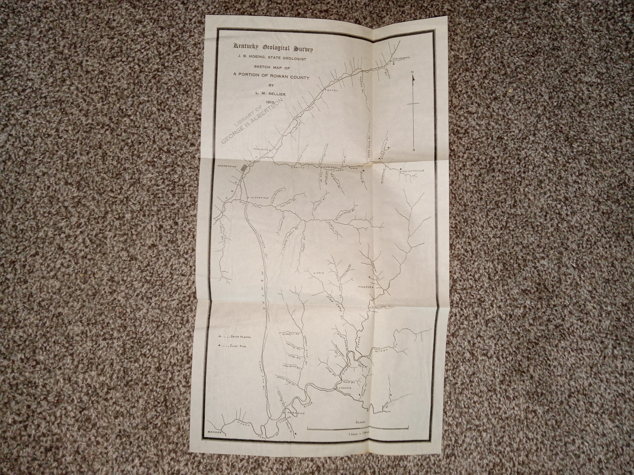
Kentucky Geological Survey: Sketch Map of A Portion of Rowan County (Fold-Up Map) (1913) ~ by L. M. Sellier
$15.00 Add to cart -
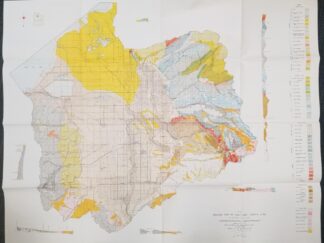
Geologic Map of Salt Lake County, Utah — LARGE SIZE — Ray E. Marsell and Richard L. Threat — 4 Feet Wide & 38 Inches Tall — June 1960
$45.00 Add to cart -
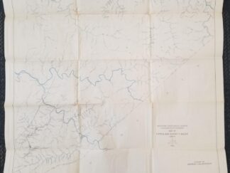
1913 — Map of Upper Big Sandy Valley (Sheet 4) — By L. M. Sellier — Measures about 27 inches Wide and 28 inches Tall
$20.00 Add to cart
Showing 41–60 of 270 resultsSorted by latest