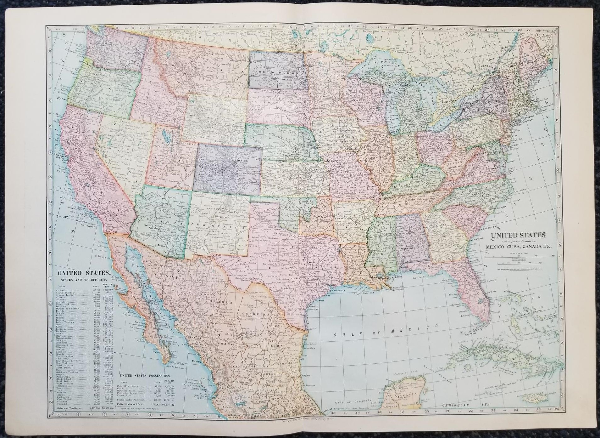
1899 — Map of the United States & Adjacent Countries: Mexico, Cuba, Canada, Etc. — in Color — Measures 16″ x 22″
$15.00
This map is one large sheet, folded in half it was pages 66 and 67 of an old atlas; text appears on the back of the map (pages 65 and 68).
Very good condition with no major tears; just one in the middle top margin.
Map copyrighted in 1899 by J. Martin Miller, Chicago, Illinois.
1 in stock
Description
U.S. map maps geography geographical mapping north american continent western hemisphere
