
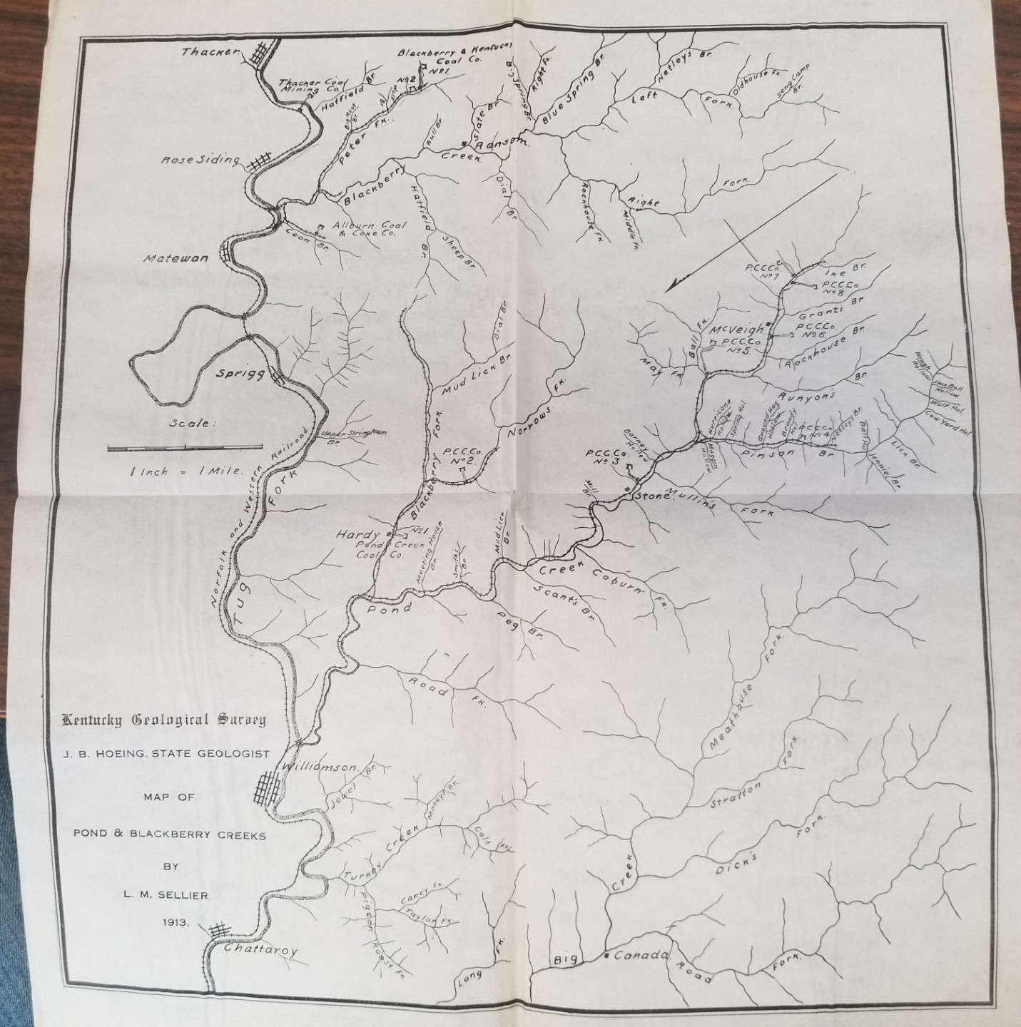
1913 — Map of Pond & Blackberry Creeks — By L. M. Sellier — Kentucky Geological Survey — About 13″ x 14″
$15.00
-
Measures just under 13 inches wide and about 14 inches tall.
-
The date on the map is 1913
-
No tears; but folded in fourths
-
No color on the map
-
Very thin paper
1 in stock
Description
map maps kentucky 1913
Related products
-

Geologic Map of the Crouse Reservoir Quadrangle, Utah (Map GQ-1554)
$10.00 Add to cart -

Geologic Map of the Thermo 15-Minute Quadrangle, Utah (Map GQ-1493)
$10.00 Add to cart -

The Romance of Boston Bay w/ Map (1944) ~ by Edward Rowe Snow
$15.00 Add to cart -

Michigan State Transportation Map ~ Signed by Governor Rick Snyder
$10.00 Add to cart -
1943 — Map of Old Cambridge in the Vicinity of Harvard University – Phillips Brooks House Association —
$15.00 Add to cart -

Geologic Map of the Three Peaks Quadrangle, Iron County, Utah (Map GQ-1297)
$10.00 Add to cart -
2 Maps in One: Map of Porto Rico / Half of a Map of Hawaii
$20.00 Add to cart -

Geology of the Southern Wasatch Mountains and Vicinity, Utah Map (1962)~ by Lehi F. Hintze
$12.50 Add to cart -
Geologic Map of California San Francisco Sheet (1961)
$12.50 Add to cart -
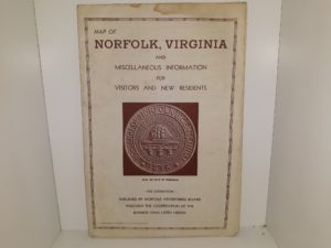
Map of Norfolk, Virginia and Miscellaneous Information for Visitors and New Residents (Map)
$12.50 Add to cart