
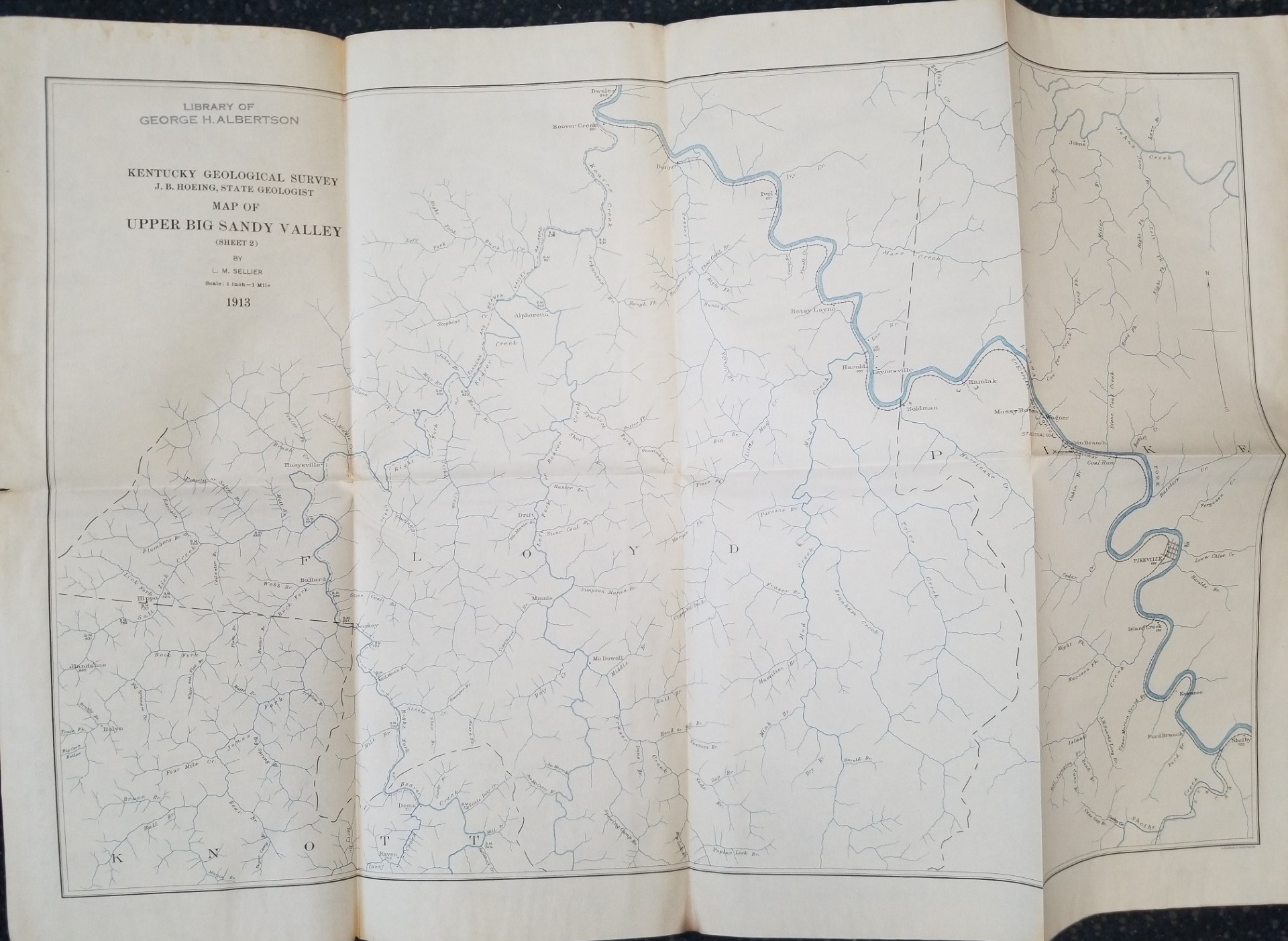
1913 — Map of Upper Big Sandy Valley (Sheet 2) — By L. M. Sellier — Measures about 26 inches Wide and 18 inches Tall
$15.00
-
Fold markings; slight tearing; but not bad at all
-
Sheet 2, dated 1914
1 in stock
Description
map maps kentucky geology
Related products
-
Geology of the Southern Wasatch Mountains and Vicinity, Utah Map (1962)~ by Lehi F. Hintze
$12.50 Add to cart -

Geologic Map of the Stuntz Reservoir Quadrangle, Utah-Colorado (Map GQ-1530)
$10.00 Add to cart -
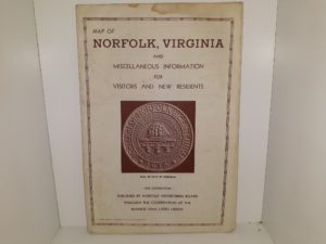
Map of Norfolk, Virginia and Miscellaneous Information for Visitors and New Residents (Map)
$12.50 Add to cart -
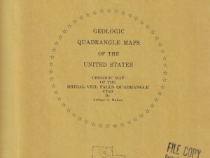
Geologic Map of the Bridal Veil Falls Quadrangle, Utah (Map GQ-998)
$10.00 Add to cart -
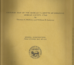
Geologic Map of the Morgan 7 1/2-Minute Quadrangle, Utah: MF-318 – Thomas E. Mullens & William H. Laraway
$25.00 Add to cart -

Geologic Map of the Mills Junction Quadrangle, Tooele County, Utah (Map GQ-924)
$10.00 Add to cart -
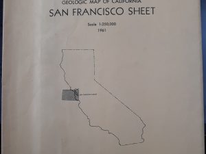
Geologic Map of California San Francisco Sheet (1961)
$12.50 Add to cart -
Washington West Quadrangle District of Columbia—Maryland—Virgina 7.5 Minute Series (Topographic) Map (1971, Revised)
$15.00 Add to cart -
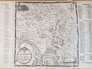
1943 — Map of Old Cambridge in the Vicinity of Harvard University – Phillips Brooks House Association —
$15.00 Add to cart -
![England and Wales Diagram of Flintshire(1939)[Map]](https://ebornbooks.com/wp-content/uploads/2019/04/1-629-300x225.png)
England and Wales Diagram of Flintshire(1939)[Map]
$20.00 Add to cart