
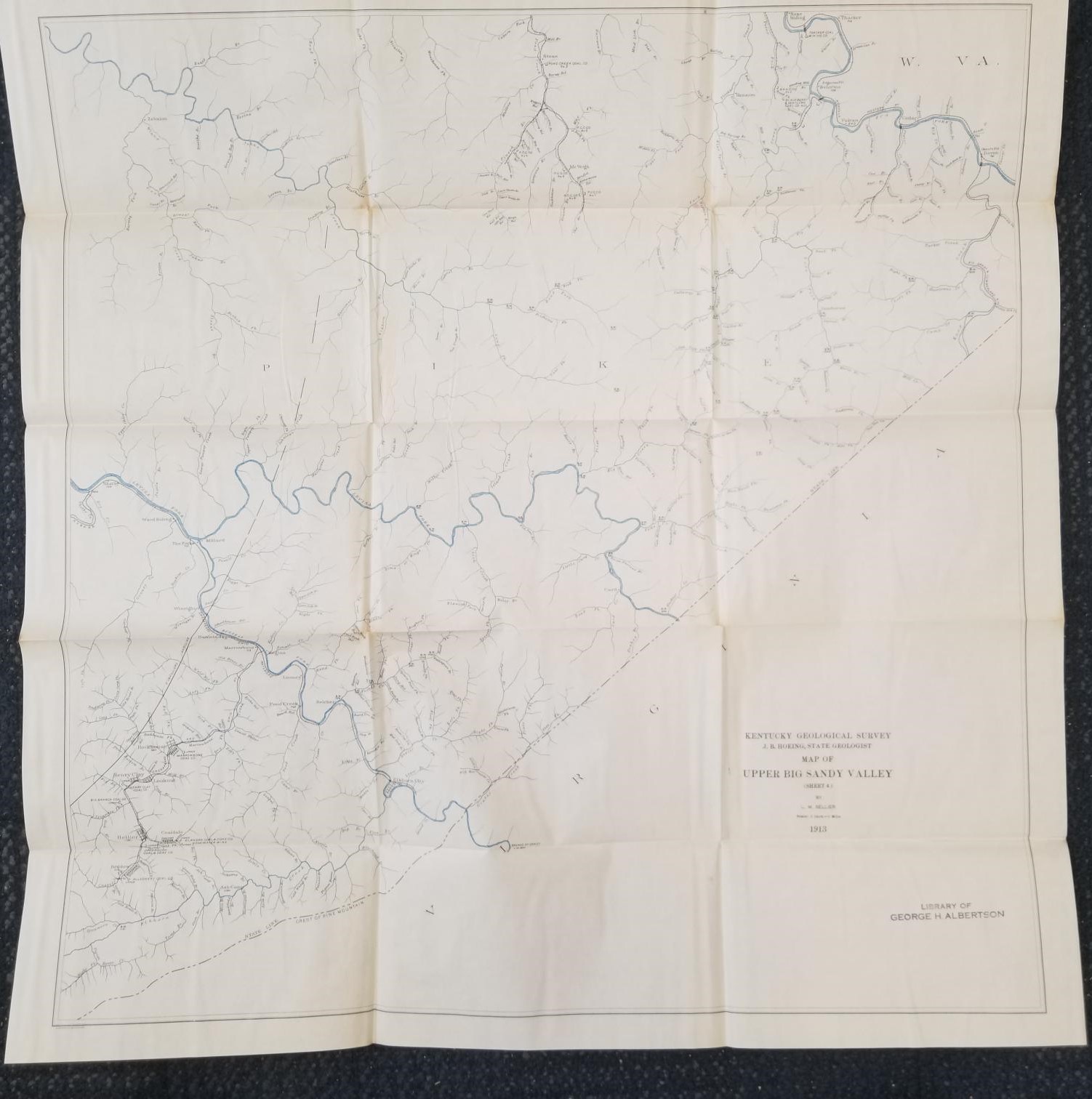
1913 — Map of Upper Big Sandy Valley (Sheet 4) — By L. M. Sellier — Measures about 27 inches Wide and 28 inches Tall
$20.00
Large size map; many fold marks from being folded up, but otherwise in pretty nice condition.
Sheet 4.
1 in stock
Description
kentucky geology map maps
Related products
-
Geologic Map of the Heber Quadrangle, Utah (Map GQ-864)
$7.50 Add to cart -

Ordnance Maps ~ England & Wales (Geological)
$15.00 Add to cart -
The Romance of Boston Bay w/ Map (1944) ~ by Edward Rowe Snow
$15.00 Add to cart -
Geologic Map of the Morgan 7 1/2-Minute Quadrangle, Utah: MF-318 – Thomas E. Mullens & William H. Laraway
$25.00 Add to cart -
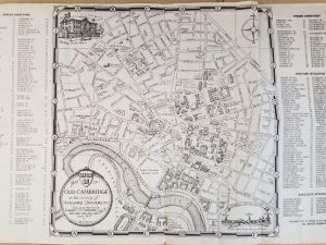
1943 — Map of Old Cambridge in the Vicinity of Harvard University – Phillips Brooks House Association —
$15.00 Add to cart -

Geologic Map of the Island Park Quadrangle, Uintah County, Utah (Map GQ-1560)
$10.00 Add to cart -
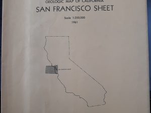
Geologic Map of California San Francisco Sheet (1961)
$12.50 Add to cart -
Washington West Quadrangle District of Columbia—Maryland—Virgina 7.5 Minute Series (Topographic) Map (1971, Revised)
$15.00 Add to cart -
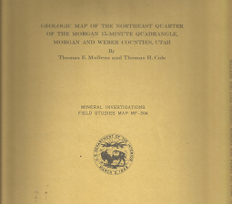
Geologic Map of the Northeast Quarter of the Morgan 15-Minute Quadrangle: Map MF-304 – Thomas E. Mullens & Thomas H. Cole
$20.00 Add to cart -
Geologic Map of the Causey Dam Quadrangle, Weber County, Utah (Map GQ-790)
$10.00 Add to cart