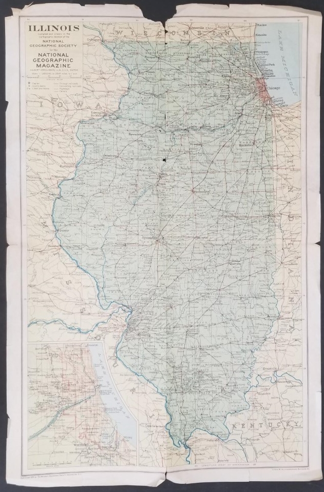
1931 — Old Map of the State of Illinois — National Geographic Magazine — 12.5″x19″
$5.00
This old map of the State of Illinois has creases and chips along the edges; it is dated 1931 and was produced by the National Geographic Society.
It measures about 12.5″x19″.
1 in stock
Description
map maps state illinois nat geo national geographic society magazine mapping




![England and Wales Diagram of Flintshire(1939)[Map]](https://ebornbooks.com/wp-content/uploads/2019/04/1-629-300x225.png)
