
![England and Wales Diagram of Flintshire(1939)[Map]](https://ebornbooks.com/wp-content/uploads/2019/04/1-629.png)
England and Wales Diagram of Flintshire(1939)[Map]
$20.00
Map, shows creases from folding, shows light wear along creases and edges, but is in excellent condition.
1 in stock
Related products
-
Geology of Min Hill and the Underground Workings, Mahd ADH Dhahab Mine, Kingdom of Saudi Arabia: Technical Record USGS-T-03-2 (IR 592) (1984) ~ by Lowell S. Hilpert, Ralph J. Roberts, and Gavin A. Dirom
$75.00 Add to cart -
Geologic Map of the Bridal Veil Falls Quadrangle, Utah (Map GQ-998)
$10.00 Add to cart -
Geologic Map of the Northeast Quarter of the Morgan 15-Minute Quadrangle: Map MF-304 – Thomas E. Mullens & Thomas H. Cole
$20.00 Add to cart -
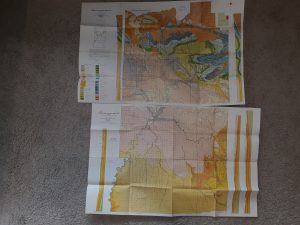
2 Geologic Maps of Uintah County, Utah (North Half, South Half) ~ by G. E. and B. R. Untermann, and D. M. Kinney
$15.00 Add to cart -
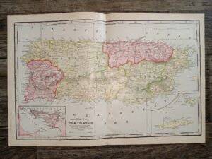
2 Maps in One: Map of Porto Rico / Half of a Map of Hawaii
$20.00 Add to cart -

Michigan State Transportation Map ~ Signed by Governor Rick Snyder
$10.00 Add to cart -
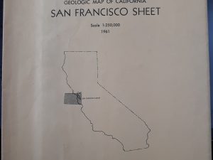
Geologic Map of California San Francisco Sheet (1961)
$12.50 Add to cart -
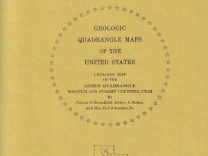
Geologic Map of the Heber Quadrangle, Utah (Map GQ-864)
$7.50 Add to cart -
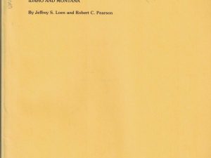
Map Showing Locations of Mines & Prospects in the Dillon Quadrangle (I-1803-C) Idaho & Montana
$10.00 Add to cart -
Geologic Map of the Three Peaks Quadrangle, Iron County, Utah (Map GQ-1297)
$10.00 Add to cart