
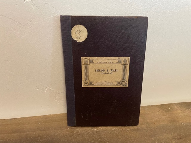
Ordnance Maps ~ England & Wales (Geological)
$15.00
Great used condition hardbound foldable map of England and Wales. Binding is taped. Pages are stiff and readable.
1 in stock
Related products
-
Geologic Map of the Three Peaks Quadrangle, Iron County, Utah (Map GQ-1297)
$10.00 Add to cart -

Geologic Map of the Island Park Quadrangle, Uintah County, Utah (Map GQ-1560)
$10.00 Add to cart -

Geologic Map of the Thermo 15-Minute Quadrangle, Utah (Map GQ-1493)
$10.00 Add to cart -

Geologic Map of the Mills Junction Quadrangle, Tooele County, Utah (Map GQ-924)
$10.00 Add to cart -
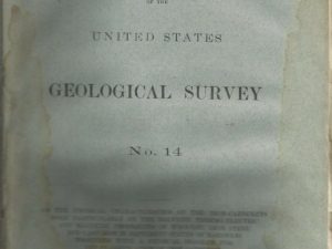
1885 — Bulletin of the United States Geological Survey No. 14
$20.00 Add to cart -
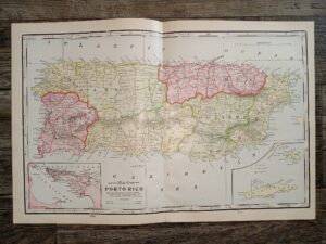
2 Maps in One: Map of Porto Rico / Half of a Map of Hawaii
$20.00 Add to cart -

Geologic Map of the Cedar City Quadrangle, Iron County, Utah (Map GQ-1120)
$10.00 Add to cart -
Geologic Map of the Causey Dam Quadrangle, Weber County, Utah (Map GQ-790)
$10.00 Add to cart -
Geology of Min Hill and the Underground Workings, Mahd ADH Dhahab Mine, Kingdom of Saudi Arabia: Technical Record USGS-T-03-2 (IR 592) (1984) ~ by Lowell S. Hilpert, Ralph J. Roberts, and Gavin A. Dirom
$75.00 Add to cart -
Geologic Map of the Southwest Quarter of the Gunsight Butte Quadrangle: Map MF-206 – Fred Petersen
$25.00 Add to cart