
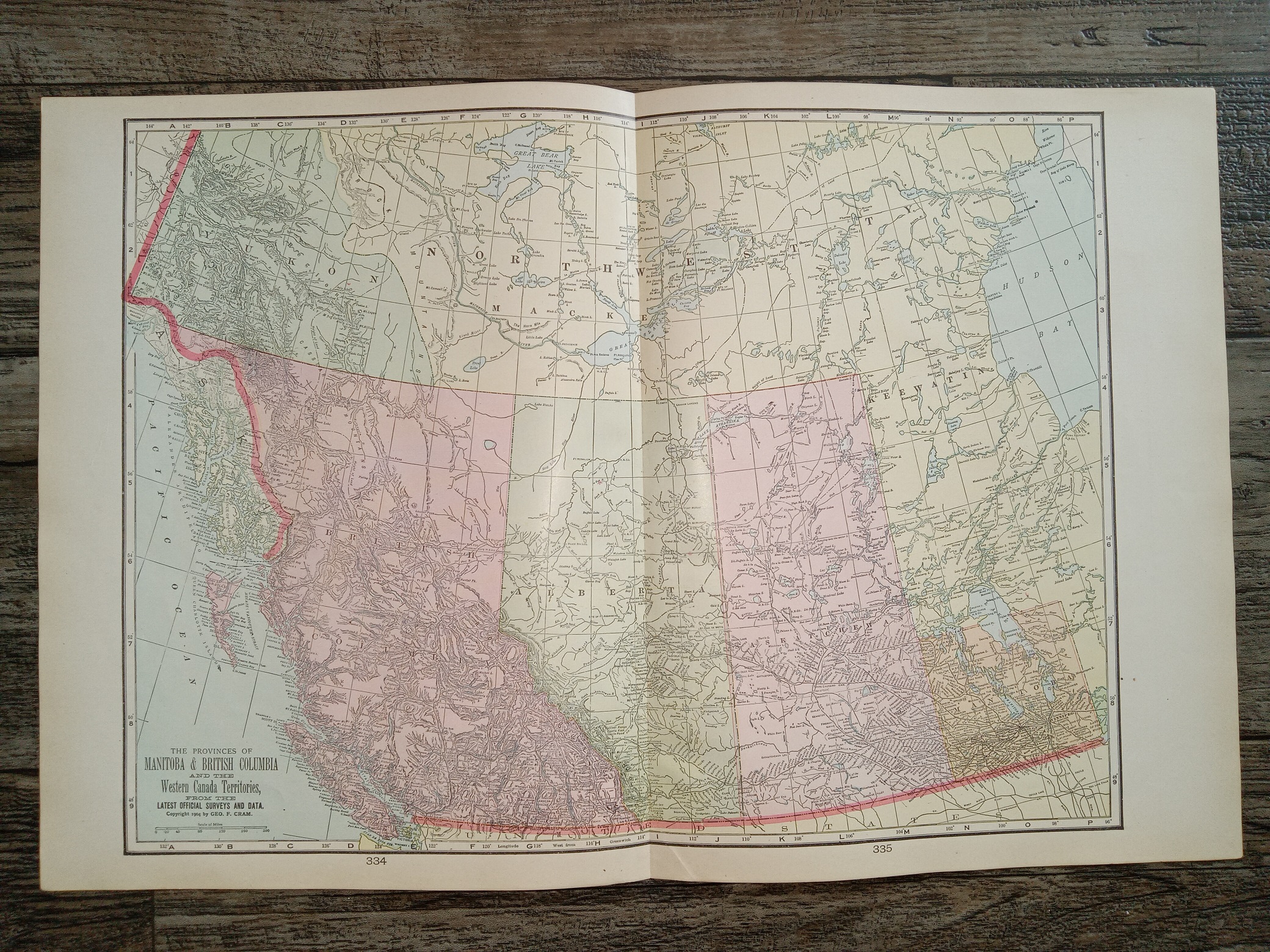
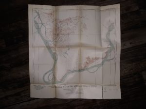
The Provinces of Manitoba & British Columbia and the Western Canada Territories, from the Latest Official Survey and Data Map (1904) ~ by Geo. F. Cram
$20.00
The Provinces of Manitoba & British Columbia and the Western Canada Territories, from the Latest Official Survey and Data Map
By Geo. F. Cram
Published: 1904
Map taken from a large, old atlas, 22 inches tall; 14 inches wide. Folded in half; good condition. The edges have some tears, and there’s a little writing in pencil.
v111 47F
1 in stock
Description
The Provinces of Manitoba & British Columbia and the Western Canada Territories, from the Latest Official Survey and Data Map
By Geo. F. Cram
Published: 1904
Map taken from a large, old atlas, 22 inches tall; 14 inches wide. Folded in half; good condition. The edges have some tears, and there’s a little writing in pencil.
v111 47F
Related products
-
Geological Highway Map: Northern Rocky Mountain Region: Idaho, Montana, Wyoming
$5.95 Add to cart -
Reconnaissance Map of the Anvik-Andreafski Region Alaska (Fold-Up Map) (1918)
$15.00 Add to cart -
Geologic Reconnaissance Map of Anvik-Andreafski Region Alaska (Fold-Up Map) (1918)
$15.00 Add to cart -
Map of Price Utah (1962)
$12.50 Add to cart -
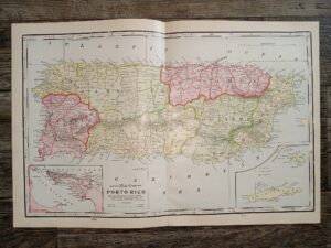
2 Maps in One: Map of Porto Rico / Half of a Map of Hawaii
$20.00 Add to cart -

2 Maps in One: Map of Washington / Half of a Map of City of Portland, Oregon
$20.00 Add to cart -
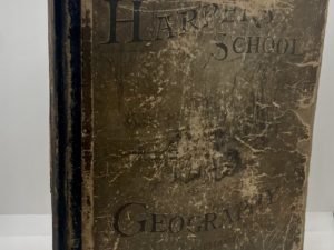
Harper’s School Geography (1876)
$20.00 Add to cart -
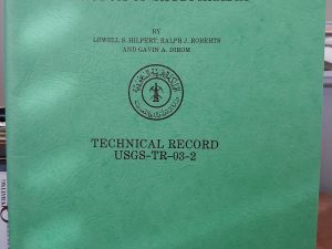
Geology of Min Hill and the Underground Workings, Mahd ADH Dhahab Mine, Kingdom of Saudi Arabia: Technical Record USGS-T-03-2 (IR 592) (1984) ~ by Lowell S. Hilpert, Ralph J. Roberts, and Gavin A. Dirom
$75.00 Add to cart -
Topographic Map of the Marshall District, Alaska (Fold-Up Map) (1919)
$12.50 Add to cart -
Geologic Quadrangle Maps of the United States: Geologic Map of the Marcellina Mountain Quadrangle Gunnison County, Colorado (Map) (1966) ~ by David L. Gaskill, and Larry H. Godwin
$25.00 Add to cart