
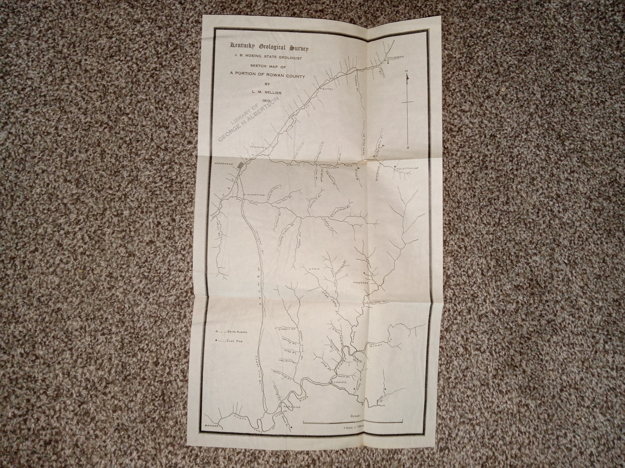
Kentucky Geological Survey: Sketch Map of A Portion of Rowan County (Fold-Up Map) (1913) ~ by L. M. Sellier
$15.00
Kentucky Geological Survey: Sketch Map of A Portion of Rowan County
(Fold-Up Map)
By L. M. Sellier
Published: 1913
Fair condition, long, fold-up map with three creases. The map also has yellowing, wrinkling, and some small tears within a few of the creases, but otherwise, the map is clean, clear, and legible.
v111 1906C
1 in stock
Description
Kentucky Geological Survey: Sketch Map of A Portion of Rowan County
(Fold-Up Map)
By L. M. Sellier
Published: 1913
Fair condition, long, fold-up map with three creases. The map also has yellowing, wrinkling, and some small tears within a few of the creases, but otherwise, the map is clean, clear, and legible.
v111 1906C
Related products
-
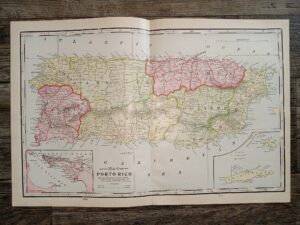
2 Maps in One: Map of Porto Rico / Half of a Map of Hawaii
$20.00 Add to cart -
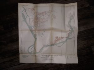
Topographic Map of the Marshall District, Alaska (Fold-Up Map) (1919)
$12.50 Add to cart -

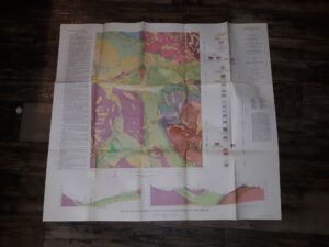
Photogeologic Map Mt. Peale – 1: Grand and San Juan Counties, Utah / Montrose County, Colorado (Fold-Up Map) (1952) ~ by R. J. Hackman
$12.00 Add to cart -
Geologic Quadrangle Maps of the United States: Geologic Map of the Marble Quadrangle Gunnison and Pitkin Counties, Colorado (Map) (1966) ~ by David L. Gaskill, and Larry H. Godwin
$25.00 Add to cart -

Ground Water, Snake River Basin, Idaho Plates
$10.00 Add to cart -
Map of Price Utah (1962)
$12.50 Add to cart -
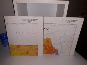
2 Maps of Gravitational Anomalies Exclusive of Alaska and Hawaii, West and East Halves (1982)
$25.00 Add to cart -
Washington West Quadrangle District of Columbia—Maryland—Virgina 7.5 Minute Series (Topographic) Map (1971, Revised)
$15.00 Add to cart -
Map of Brigham City, Utah; Idaho (1954)
$7.50 Add to cart -

2 Maps in One: Map of Washington / Half of a Map of City of Portland, Oregon
$20.00 Add to cart