Description
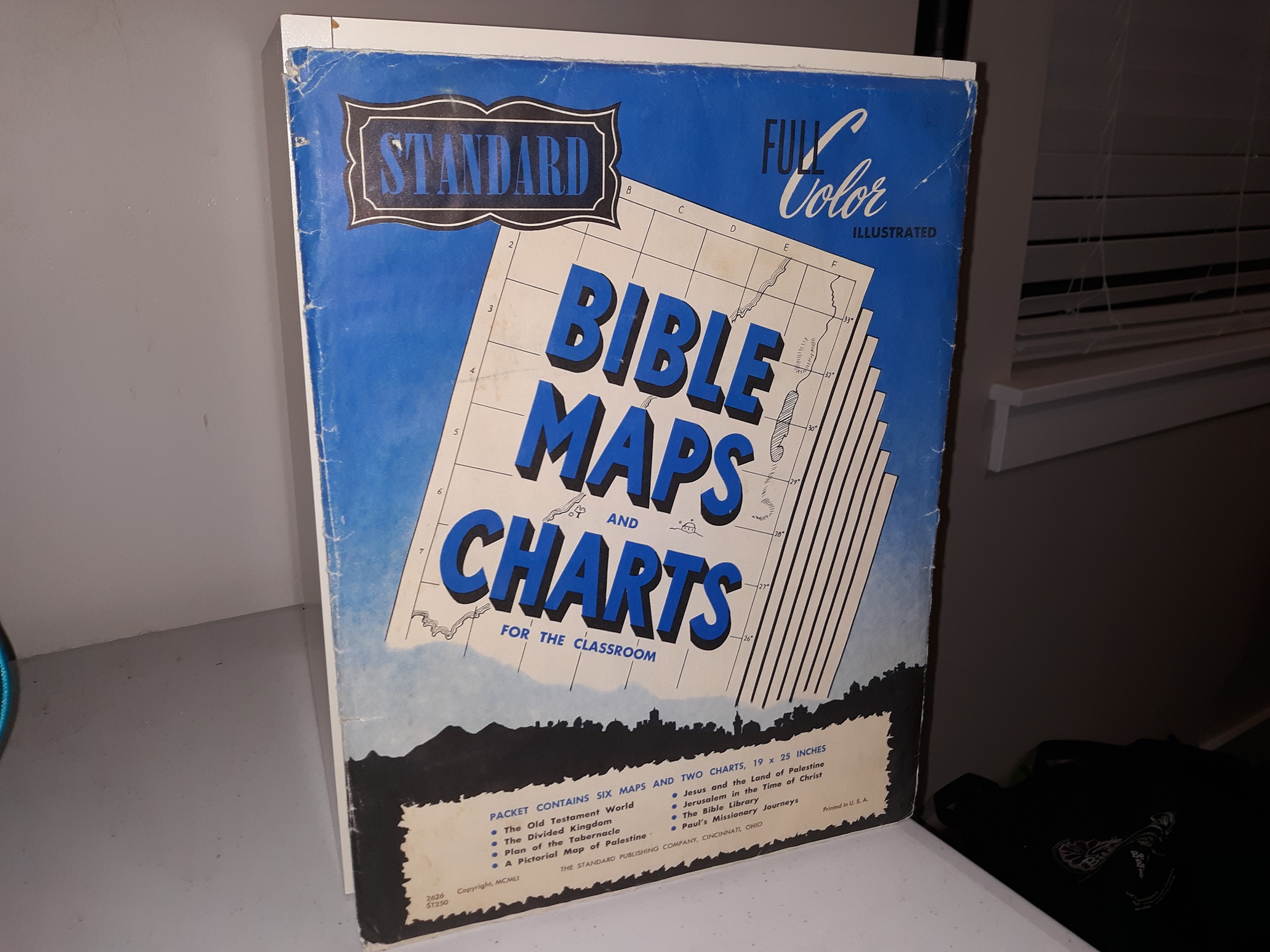
Standard Bible Maps and Charts for the Classroom (Full Color Illustrated)
(5 of 6 Maps)
The following maps and charts are included:
- Jerusalem in the Time of Christ
- Paul’s Missionary Journeys
- Plan of the Tabernacle
- Map Showing the Divided Kingdom and Countries Nearby
- The Bible Library
Published: 1951
5 good condition, fold-up maps and charts kept within their original sleeve. The sleeve has heavy scuffing, tears, wrinkles, fading, stains, and some writing in pencil. The charts and maps may have some minor wrinkling.
v111 Loc#34