
Star Trek Maps: The Navigational Charts of the Five-Year Voyage of the Starship Enterprise (1980)
$40.00
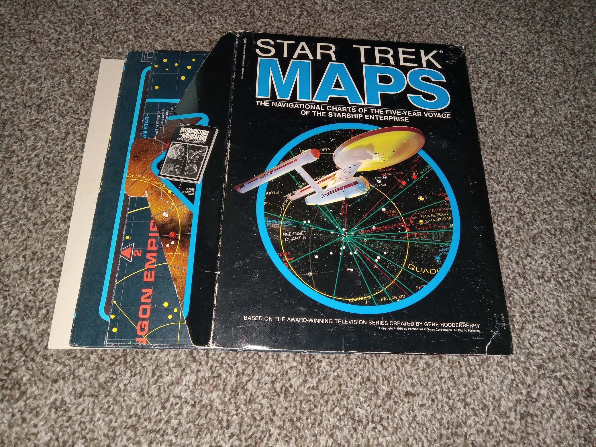
Star Trek Maps: The Navigational Charts of the Five-Year Voyage of the Starship Enterprise
Published: 1980
2 fair-good condition, fold-up maps and a thin, dark gray, staple-bound softcover, all kept within the original carboard envelope case. The envelope case has scuffing, small tears, some writing in pencil, scratches, fading, and crushed corners. The maps have scuffing, and some minor tearing and fraying along the creases, but are otherwise in good shape. The softcover, has minor scuffing at the edges of the cover, but the text and illustrations throughout are clena, clear, and legible.
v702 1905J
1 in stock
Description
Star Trek Maps: The Navigational Charts of the Five-Year Voyage of the Starship Enterprise
Published: 1980
2 fair-good condition, fold-up maps and a thin, dark gray, staple-bound softcover, all kept within the original carboard envelope case. The envelope case has scuffing, small tears, some writing in pencil, scratches, fading, and crushed corners. The maps have scuffing, and some minor tearing and fraying along the creases, but are otherwise in good shape. The softcover, has minor scuffing at the edges of the cover, but the text and illustrations throughout are clena, clear, and legible.
v702 1905J
Related products
-

Untouched by Human Hands – Robert Sheckley
$10.00 Add to cart -

Son of Kong Poster – Three Sheet Reprint – 1933
$150.00 Add to cart -

The Devil’s Day (1971) ~ by James Blish
$49.95 Add to cart -

Lunar Braceros: 2125-2148 (2009) ~ by Rosaura Sánchez, and Beatrice Pita
$20.50 Add to cart -

Collected Stories ~ Richad Matheson ~ Special Advance Reading Copy WFC Prevue Edition ~ 1 of only 350 Copies!
$150.00 Add to cart -

Creature from the Black Lagoon Poster – Three Sheet Reprint – 1954
$75.00 Add to cart -

The Encyclopedia of TV Science Fiction (1997) ~ by Roger Fulton
$8.00 Add to cart -

5 Volume Set: Thieves World ~ by Robert Lynn Asprin & Lynn Abbey
$19.99 Add to cart -

Weird Science Comics Set of 22 Issues
$100.00 Add to cart -

Ice Storm ~ Rick Moody ~ Signed Easton Press Leather Edition!
$250.00 Add to cart