
Tooele County, Utah Topographical Fold-Up Map (1953) ~ Printed by Army Map Service, Corps of Engineers
$12.50
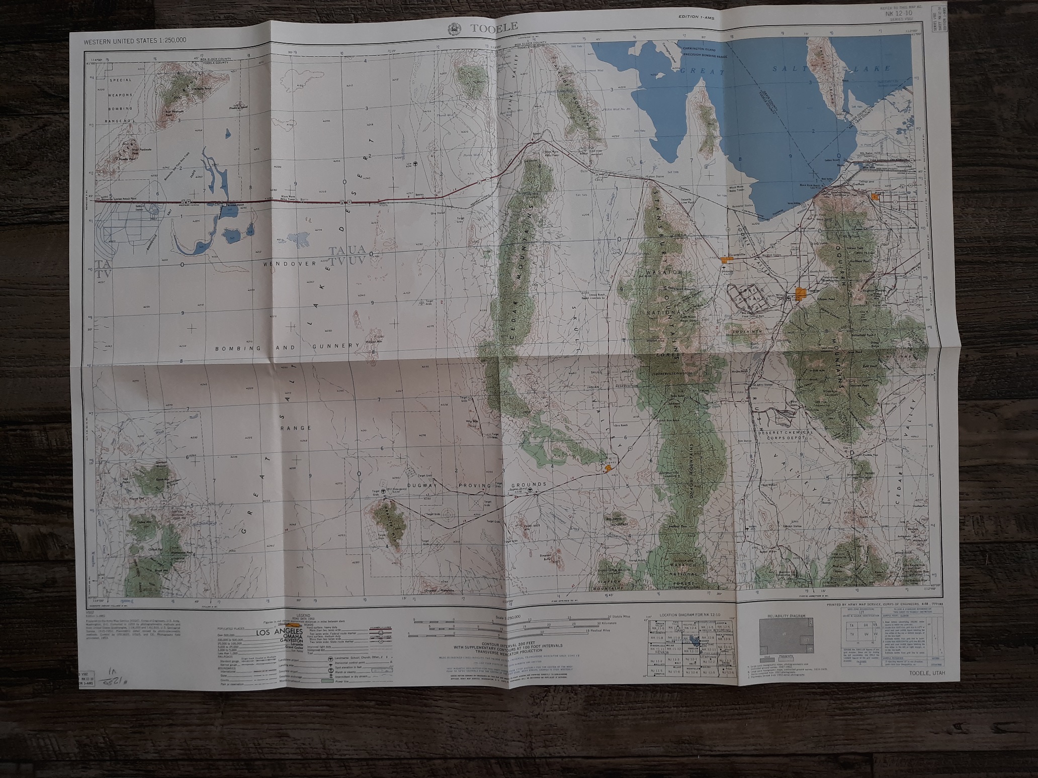
Tooele County, Utah Topographical Fold-Up Map
Printed by Army Map Service, Corps of Engineers
Published: 1953
Good condition, fold-up map. The map has some minor wrinkling, scuff marks, and some minor writing in pencil. The text and illustrations of the map are clean, clear, and legible.
v1 53
1 in stock
Description
Tooele County, Utah Topographical Fold-Up Map
Printed by Army Map Service, Corps of Engineers
Published: 1953
Good condition, fold-up map. The map has some minor wrinkling, scuff marks, and some minor writing in pencil. The text and illustrations of the map are clean, clear, and legible.
v1 53
Related products
-
A Demographic Examination of Household Heads in Salt Lake City, Utah, 1850-1870 by Larry Wayne Draper 1988
$50.00 Add to cart -
Centennial Story Collection Souvenir of Centennial Organization of Vernon Ward 1977
$50.00 Add to cart -

The World of Michael Phillips and His Descendants – Volume 1
$100.00 Add to cart -
Sketches of Vernon History Souvenir of Centennial Organization of Vernon Branch 1963
$50.00 Add to cart -
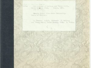
The History of College and Young Wards, Cache County, Utah by John A. Hansen
$100.00 Add to cart -
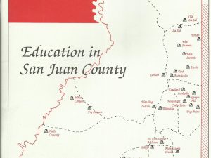
Blue Mountain Shadows (A Magazine of San Juan County History) Vol. 9/Winter 1991
$15.00 Add to cart -
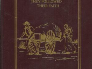
Christian Sorensen Family History – They Followed Their Faith
$200.00 Add to cart -
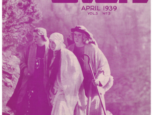
The Utah (A Magazine) Set of Assorted Issues from 1937-1947
$250.00 Add to cart -
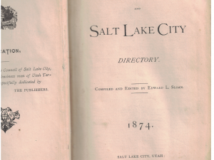
Gazeteer of Utah, and Salt Lake City Directory ~1874 ~ edited by Edward L. Sloan
$500.00 Add to cart -
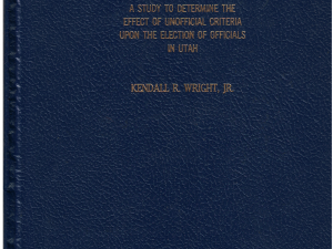
A Study to Determine the Effect of Unofficial Criteria Upon the Election of Officials in Utah by Kendall R. Wright, Jr.
$50.00 Add to cart