
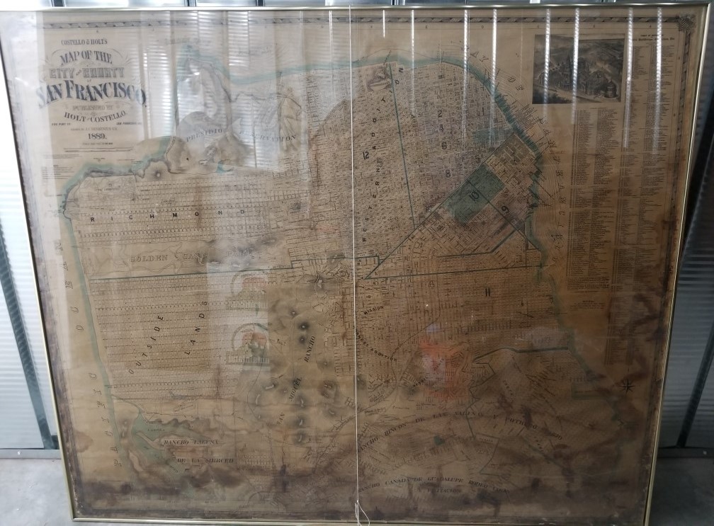
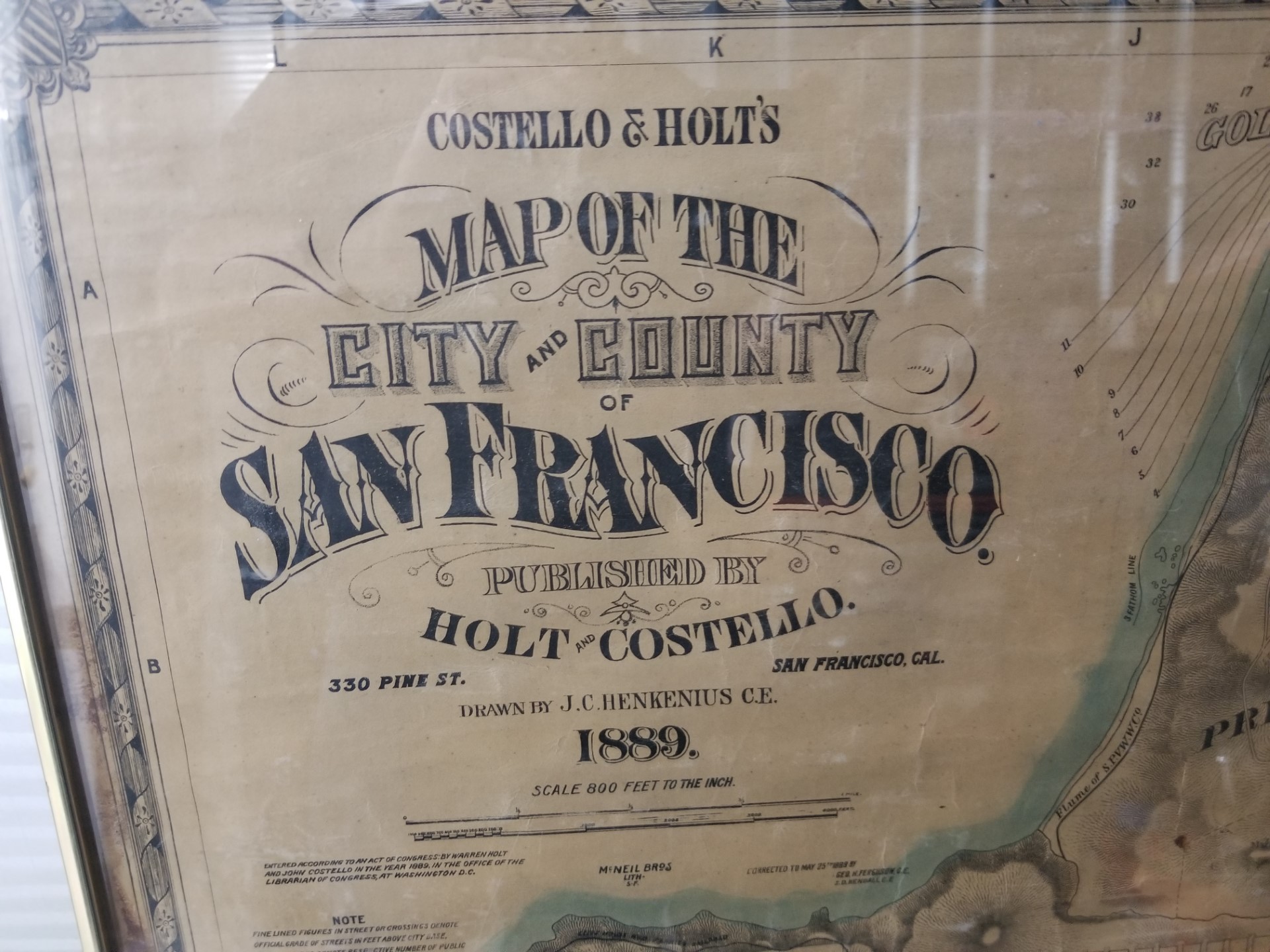
1889 — Costello & Holt’s Map of the City and County of San Francisco, California — Huge Map Measures 4 feet tall and 5 feet wide!
$5,900.00
You would have a hard time finding another map of San Francisco, California, as old and as large, as this one!
The map was drawn by J. C. Henkenius, C.E. to 800 feet per inch scale.
It is cheaply framed in a plastic frame with plexi-glass cover on the front.
The map is quite large; there is some moisture damage across the bottom of the map, but this is not unusual for such a huge map of this size and age.
We could supply more information for serious buyers, but the item is on consignment and priced by the owner.
BUYER WILL HAVE TO FIND THEIR OWN SHIPPING ON IT, OR PICK IT UP. LOCATED IN UTAH.
For questions please email at ebornbk@hotmail.com
NO FOREIGN ORDERS ON THIS ITEM.
Click on the photograph below, to enlarge it.
1 in stock
Description
san francisco city county history geography map maps california holt costello 1889
Related products
-
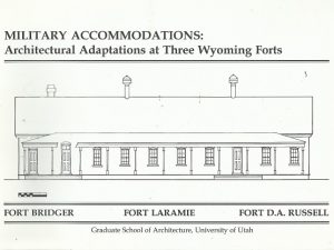
Military Accommodations: Architectural Adaptations at Three Wyoming Forts — Fort Bridger, Fort Laramie, Fort D.A. Russell
$14.99 Add to cart -
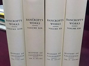
History of California. 4 Volume Set. (Bancroft’s Works Volumes 18-21). (Hardcover)
$27.50 Add to cart -
Heart Throbs of the West (Vol. 11), by Kate B. Carter
$18.99 Add to cart -

Before the Little Big Horn: Battle of the Rosebud, Mountain Territory, June 17, 1876 (Signed) (1983) ~ by Fred H. Werner
$6.99 Add to cart -
Chesterfield: Mormon Outpost in Idaho Edited by Lavina Fielding Anderson (1982)
$19.99 Add to cart -
A History of the Gilsonite Industry – Newell G. Remington
$150.00 Add to cart -

The Case for Hiram Bebee, An Analysis of a Controversial Utah Homicide Case – Jack C. Billings
$25.00 Add to cart -

Great Western Indian Fights (Signed by J. Reuben Clark) (1970) ~ by Members of the Potomac Corral of the Westerners, Edited by B. W. Allred, J. C. Dykes, Frank Goodwyn, and D. Harper Simms
$25.00 Add to cart -
The Mesa Verde Story ~ Envelope with 5 Cards
$15.00 Add to cart -
1855 Prison of Weltevreden, and a Glance at the East Indian Archipelago – Walter M. Gibson
$88.00 Add to cart