
Showing 1–20 of 260 resultsSorted by latest
-
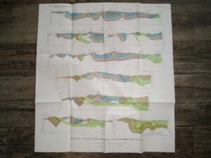
Structure Sections of the Georgetown Canyon-Snowdrift Mountain Area Map (Unknown Print Date) ~ Unknown Cartographer
$7.50 Add to cart -
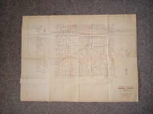
General Highway Map Branch County Michigan, State Highway Department (Unknown Publishing Date)
$20.00 Add to cart -
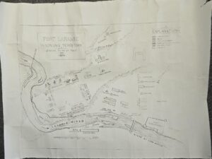
Map of Fort Laramie, Wyoming Territory, General Plan of Post — 15″ x 11.5″ — Reprint of the 1874
$15.00 Add to cart -
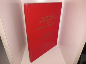
Parish Maps of the Counties of England and Wales (1977) ~ Compiled by Institute of Heraldic And Genealogical Studies (England), Director C. Humphery-Smith
$12.00 Add to cart -
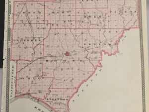
1876 Maps of Warrick and Spencer Counties in Indiana — 17″ X 14″
$20.00 Add to cart -

1872 — Atlas of York Co. Maine, From actual Surveys, drawn and Published by Sanford Everts & Co., 320 Chestnut Street, Philadelphia 1872
$350.00 Add to cart -
Geologic Map of the Enoch NE Quadrangle, Iron County, Utah (Map GQ-1301)
$5.00 Add to cart -
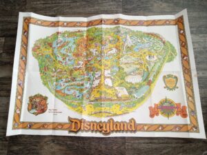
Walt Disney’s Disneyland Map (44.5″ x 30″) (1955)
$12.00 Add to cart -

Lionel 1968 Trains and Accessories Catalogue
$8.95 Add to cart -
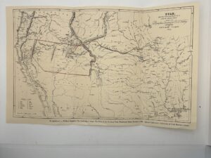
Overland routes to Utah map, 1855. FD Richards, Liverpool
$5.00 Add to cart -
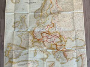
Map of Europe – Peace Conference at Paris – 1920
$14.00 Add to cart -
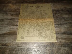
Map of Salt Lake City, Utah Classified Business Telephone Directory Map (Unknown Publishing Date) ~ by The Mountain States Tel. & Tel. Company
$9.99 Add to cart -

Plat of Thomas County (Map) (Unknown Publishing Date) ~ Unknown Cartographer
$25.00 Add to cart -
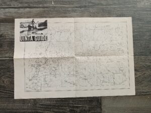
Uinta Guide (Map) (Unknown Publishing Date) ~ Unknown Cartographer
$15.00 Add to cart -
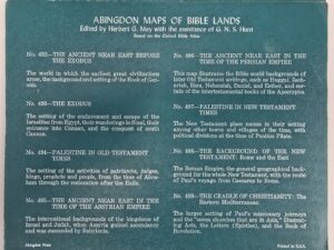
Map #497 in the Abingdon Maps of Bible Lands (series) — “Palestine in New Testament Times”
$19.00 Add to cart -

Map of Shadow Mountains, California (21″x17″) (1937) ~ Unknown Cartographer
$20.00 Add to cart -
Map of San Antonio, California (21″x17″) (1942) ~ Unknown Cartographer
$20.00 Add to cart -
Map of Hesperia California (27″x22″) (1956)
$25.00 Add to cart -
Map of Cajon, California (27″x22″) (1956) ~ Unknown Cartographer
$35.00 Add to cart -
Map of the Ord Mountains, California (21″x17″ Map) (1955) ~ Unknown Cartographer
$20.00 Add to cart