
Showing 21–40 of 260 resultsSorted by latest
-
Map of Lucerne Valley, California (1947)
$20.00 Add to cart -
Map of Baldy Mesa, California (1956)
$20.00 Add to cart -
Map of Cedar Springs, California (1956)
$20.00 Add to cart -

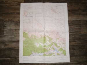
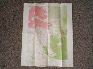
Map of Apple Valley, California (1957)
$20.00 Add to cart -

Relief Map of Utah (1947) ~ Unknown Cartographer
$15.00 Add to cart -
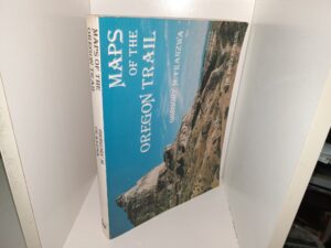
Maps of the Oregon Trail (1982) ~ by Gregory M. Franswa
$14.95 Add to cart -
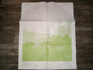
Lake Arrowhead Quadrangle, California, San Bernardino County, 15 Minute Series (Topographic) (Map) (1956)
$19.00 Add to cart -
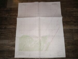
Victorville Quadrangle, California, San Bernardino County, 15 Minute Series (Topographic) (Map) (1956)
$19.00 Add to cart -

Map of The State of California (1966)
$15.00 Add to cart -

Map of San Bernardino (1966) ~ Unknown Author
$15.00 Add to cart -

Geologic Map of the Snowdrift Quadrangle, Bear Lake and Caribou Counties, Idaho (1955) ~ by E. R. Cressman
$19.00 Add to cart -
Geologic Map of Daggett County (Fold-Up Map) (Unknown Publishing Date) ~ by Howard R. Ritzma
$19.50 Add to cart -
Figures 3 to 11 to Accompany GSC Paper 68-25: Subsurface Geology, Lower Mackenzie River and Anderson River Area District of Mackenzi (9 Maps/Charts) (Unknown Publishing Date)
$15.00 Add to cart -

News Map: Industrial Edition: The War Fronts (Fold-Up Map) (1944)
$35.00 Add to cart -

Map of Texas and Adjacent Regions in the Eighteenth Century (1915) ~ Compiled by Herbert E. Bolton
$25.00 Add to cart -
Sugar House Quadrangle Map (Fold-Up Map) (1952) ~ Unknown Cartographer
$25.00 Add to cart -
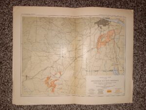
General Map of the Arkansas Bauxite District (Fold-Up Map) (Unknown Publishing Date) ~ Unknown Cartographer
$20.00 Add to cart -
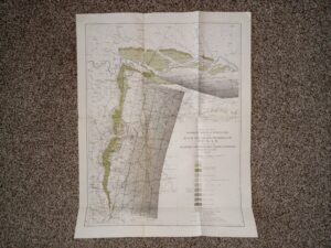
Map of the Woodbine Artesian Reservoirs of the Black and Grand Prairies of Texas Including the Eastern and Western Cross Timbers (1900) ~ by Robert T. Hill
$25.00 Add to cart -

Map of the Great Salt Lake (Fold-Up Map) (1961) ~ by A. J. Eardley
$19.50 Add to cart -

Preliminary Map Showing Geologic Structure of Parts of Emery, Wayne, and Garfield Counties, Utah (1933) ~ Surveyed by A. A. Baker, Assisted, by M. M. Knechtel, D. A. Andrews, A. J. Eardley, L. G. Henbest, L. S. Bumgardner, H. D. Curry and R. L. Miller
$17.50 Add to cart