
Showing 101–120 of 260 resultsSorted by latest
-

Ohio Map ~ by Geo. F. Cram
$20.00 Add to cart -

3 Maps in One: Map of Cincinnati / Cleveland Map / City of Toledo Map
$20.00 Add to cart -

Michigan Map ~ by George F. Cram
$20.00 Add to cart -

Detroit Map ~ by George F. Cram
$20.00 Add to cart -

Map of Wisconsin ~ by George
$20.00 Add to cart -

Map of Milwaukee ~ by George F. Cram
$20.00 Add to cart -
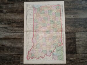
Indiana Map ~ by George F. Cram
$20.00 Add to cart -
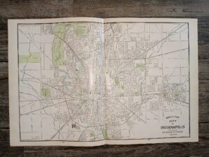
Map of the City of Indianapolis
$20.00 Add to cart -
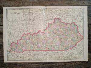
Map of Kentucky ~ by George F. Cram
$20.00 Add to cart -
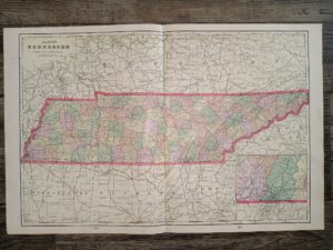
Map of Tennessee ~ by Geo. F. Cram
$20.00 Add to cart -

Map of North Carolina ~ by George F. Cram
$20.00 Add to cart -

Map of South Carolina ~ by George F. Cram
$20.00 Add to cart -

Map of Georgia ~ by George F. Cram
$20.00 Add to cart -

3 Maps in One: Map of Florida / Atlanta Map / Birmingham Map ~ by George F. Cram
$20.00 Add to cart -
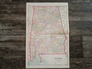
Alabama Map ~ by Geo. F. Cram
$20.00 Add to cart -

Map of Mississippi ~ by George F. Cram
$20.00 Add to cart -

Map of Louisiana ~ by George F. Cram
$20.00 Add to cart -
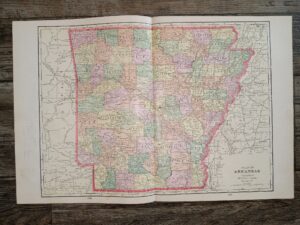
Map of Arkansas ~ by George F. Cram
$20.00 Add to cart -
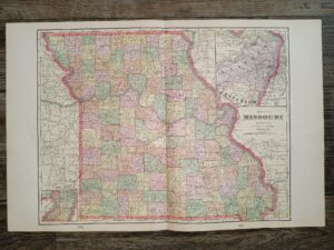
Map of Missouri ~ by George F. Cram
$20.00 Add to cart -
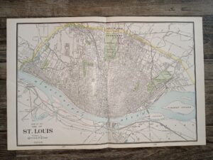
2 Maps in One: Map of the City of St. Louis / Kansas City Map
$20.00 Add to cart