Skip to navigation
Skip to content
Search for:
Search
Menu
Eborn Books Home
About Eborn Books — We Accept Credit Cards Thru WooPay
For Authors
Locations
Search Inventory
My account
Wish List
Cart
Checkout
New LDS Books!
Home
About Eborn Books — We Accept Credit Cards Thru WooPay
For Authors
Books, Pamphlets, Coins, Posters, Antiques, Knick-Knacks, Misc. Collectibles.
Cart
Checkout
Locations
My account
Wish List
New LDS Books!
Search Results
Terms and Conditions
$
0.00
0 items
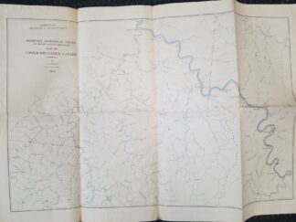
1913 — Map of Upper Big Sandy Valley (Sheet 2) — By L. M. Sellier — Measures about 26 inches Wide and 18 inches Tall
$
15.00
Fold markings; slight tearing; but not bad at all
Sheet 2, dated 1914
1 in stock
1913 -- Map of Upper Big Sandy Valley (Sheet 2) -- By L. M. Sellier -- Measures about 26 inches Wide and 18 inches Tall quantity
Add to cart
SKU:
v111 1904T sheet 2
Category:
Maps
Description
Description
map maps kentucky geology
Related products
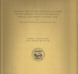
Geologic Map of the Northeast Quarter of the Morgan 15-Minute Quadrangle: Map MF-304 – Thomas E. Mullens & Thomas H. Cole
$
20.00
Add to cart
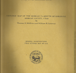
Geologic Map of the Morgan 7 1/2-Minute Quadrangle, Utah: MF-318 – Thomas E. Mullens & William H. Laraway
$
25.00
Add to cart
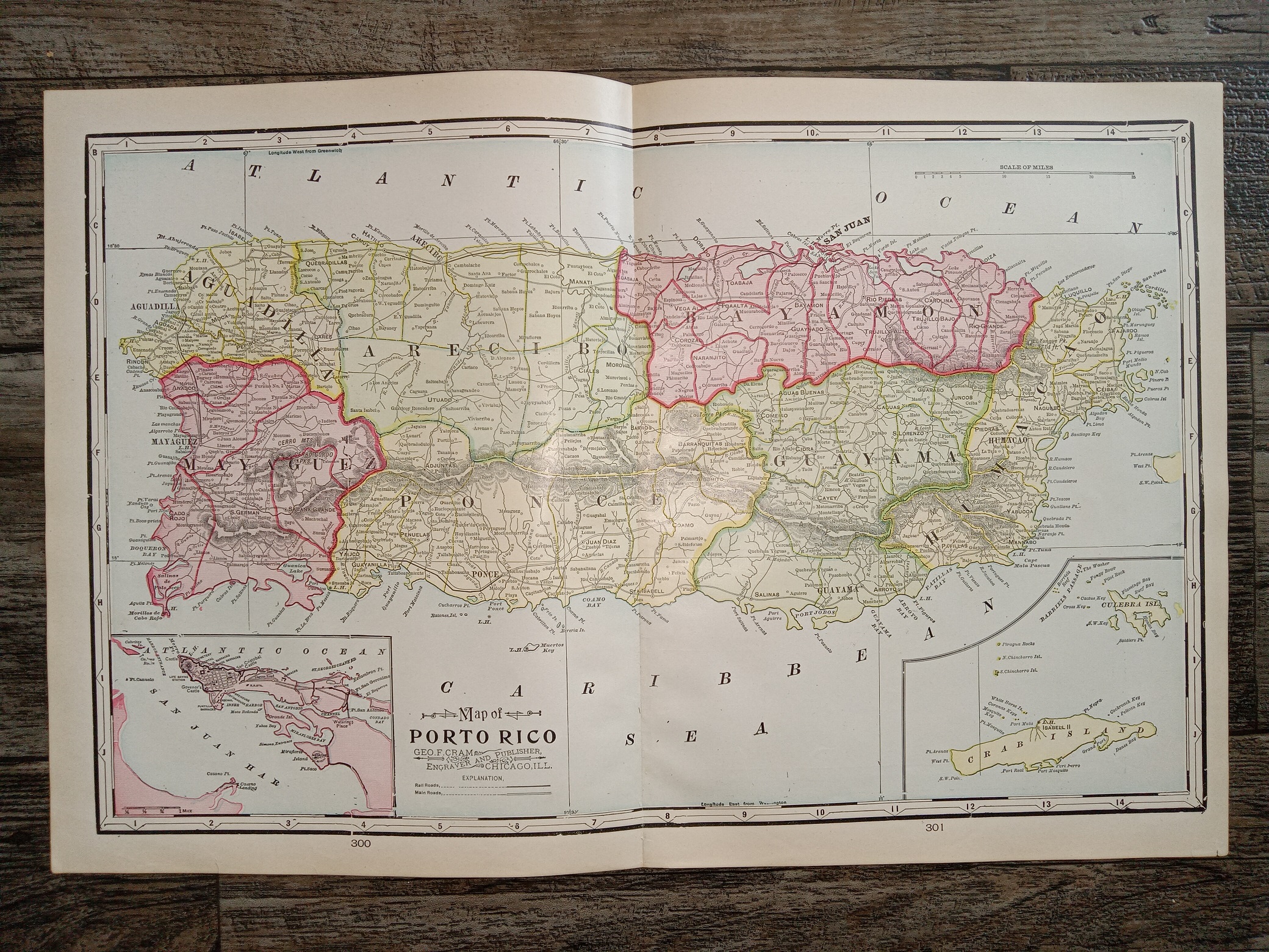
2 Maps in One: Map of Porto Rico / Half of a Map of Hawaii
$
20.00
Add to cart
1913 -- Map of Upper Big Sandy Valley (Sheet 3) -- By L. M. Sellier -- Measures about 22 inches Tall
1913 -- Map of Upper Big Sandy Valley (Sheet 4) -- By L. M. Sellier -- Measures about 27 inches Wide and 28 inches Tall
Search our Store at EbornBooks.com
Products search
Search
Search our Products
Products search
Search
Search our inventory on Amazon and Ebay!
Click here to view our product listings on Ebay!
Other Resources
You're viewing:
1913 — Map of Upper Big Sandy Valley (Sheet 2) — By L. M. Sellier — Measures about 26 inches Wide and 18 inches Tall
$
15.00
Add to cart