Skip to navigation
Skip to content
Search for:
Search
Menu
Eborn Books Home
About Eborn Books — We Accept Credit Cards Thru WooPay
For Authors
Locations
Search Inventory
My account
Wish List
Cart
Checkout
New LDS Books!
Home
About Eborn Books — We Accept Credit Cards Thru WooPay
For Authors
Books, Pamphlets, Coins, Posters, Antiques, Knick-Knacks, Misc. Collectibles.
Cart
Checkout
Locations
My account
Wish List
New LDS Books!
Search Results
Terms and Conditions
$
0.00
0 items
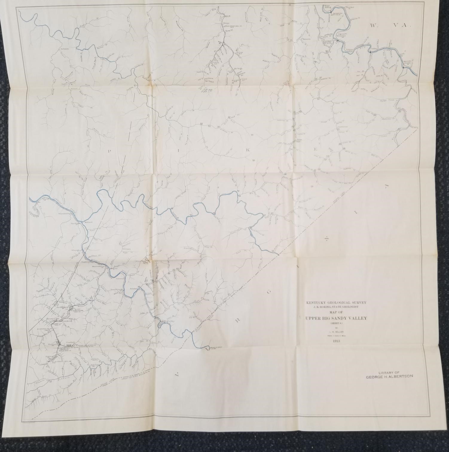
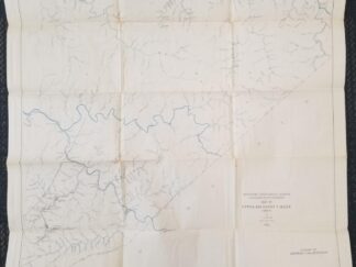
1913 — Map of Upper Big Sandy Valley (Sheet 4) — By L. M. Sellier — Measures about 27 inches Wide and 28 inches Tall
$
20.00
Large size map; many fold marks from being folded up, but otherwise in pretty nice condition.
Sheet 4.
1 in stock
1913 -- Map of Upper Big Sandy Valley (Sheet 4) -- By L. M. Sellier -- Measures about 27 inches Wide and 28 inches Tall quantity
Add to cart
SKU:
v111 1904T sheet4
Category:
Maps
Description
Description
kentucky geology map maps
Related products
Geology of Min Hill and the Underground Workings, Mahd ADH Dhahab Mine, Kingdom of Saudi Arabia: Technical Record USGS-T-03-2 (IR 592) (1984) ~ by Lowell S. Hilpert, Ralph J. Roberts, and Gavin A. Dirom
$
75.00
Add to cart
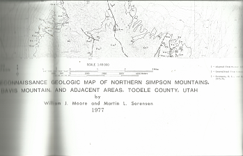
Reconnaissance Geologic Map of Northern Simpson Mountains: Map MF-905 – William J. Moore & Martin L. Sorensen
$
20.00
Add to cart
Geologic Map of the Crouse Reservoir Quadrangle, Utah (Map GQ-1554)
$
10.00
Add to cart
1913 -- Map of Upper Big Sandy Valley (Sheet 2) -- By L. M. Sellier -- Measures about 26 inches Wide and 18 inches Tall
Geologic Map of Salt Lake County, Utah -- LARGE SIZE -- Ray E. Marsell and Richard L. Threat -- 4 Feet Wide & 38 Inches Tall -- June 1960
Search our Store at EbornBooks.com
Products search
Search
Search our Products
Products search
Search
Search our inventory on Amazon and Ebay!
Click here to view our product listings on Ebay!
Other Resources
You're viewing:
1913 — Map of Upper Big Sandy Valley (Sheet 4) — By L. M. Sellier — Measures about 27 inches Wide and 28 inches Tall
$
20.00
Add to cart