
Showing 201–220 of 260 resultsSorted by latest
-
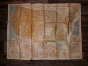
Map of the United States of America (The National Geographic) (1923)
$15.00 Add to cart -
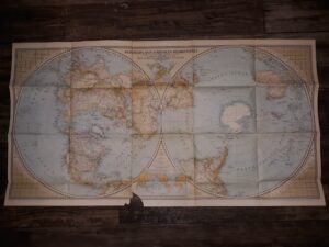
Northern & Southern Hemispheres National Geographic Map (1943)
$9.99 Add to cart -
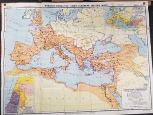
Growth of Christianity To the End of the Fourth Century — Map No. AH14 — A.J. Nystrom & Co. Publishers, Chicago — 4 ft. x 3 ft.
$100.00 Add to cart -
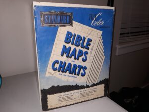
Standard Bible Maps and Charts for the Classroom (Full Color Illustrated) (5 of 6 Maps) (1951)
$20.00 Add to cart -
Geologic Quadrangle Maps of the United States: Geologic Map of the Marble Quadrangle Gunnison and Pitkin Counties, Colorado (Map) (1966) ~ by David L. Gaskill, and Larry H. Godwin
$25.00 Add to cart -

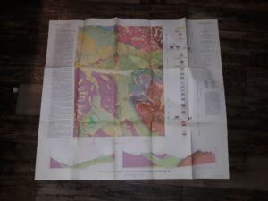
Geologic Quadrangle Mapes of the United States: Geologic Map of the Bristol Head Quadrangle Mineral and Hinsdale Counties Colorado (Map) (1967) ~ by Thomas A. Steven
$20.00 Add to cart -
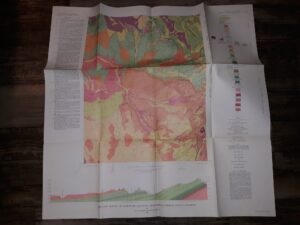
Geologic Quadrangle Maps of the United States: Geologic Map of the Marcellina Mountain Quadrangle Gunnison County, Colorado (Map) (1966) ~ by David L. Gaskill, and Larry H. Godwin
$25.00 Add to cart -

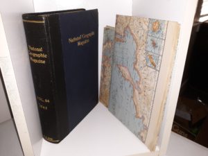
National Geographic Magazine: Vol. 86, 1944 w/ a Map of Germany, and a Map of the United States of America (1944)
$15.00 Add to cart -

National Geographic Magazine: Vol. 91, 1947 w/ a Map of the Union of Soviet Socialist Republics, and a Map of Canada, Alaska & Greenland (1947)
$15.00 Add to cart -
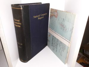
National Geographic Magazine: Vol. 60, 1931 w/ a Map of Southeast Asia and Pacific Islands (1931)
$15.00 Add to cart -
National Geographic Magazine: Vol. 84, 1943 w/ a Map of The Pacific Ocean, and a Map of The World (1943)
$15.00 Add to cart -

Photogeologic Map Mt. Peale – 1: Grand and San Juan Counties, Utah / Montrose County, Colorado (Fold-Up Map) (1952) ~ by R. J. Hackman
$12.00 Add to cart -
Map of Brigham City, Utah; Idaho (1954)
$7.50 Add to cart -
Topographic Map of the Marshall District, Alaska (Fold-Up Map) (1919)
$12.50 Add to cart -
Geologic Reconnaissance Map of Anvik-Andreafski Region Alaska (Fold-Up Map) (1918)
$15.00 Add to cart -
Reconnaissance Map of the Anvik-Andreafski Region Alaska (Fold-Up Map) (1918)
$15.00 Add to cart -
1919 — Geologic Map of the Marshall District, Alaska — by George L. Harrington, Surveyed in 1916 — About 19″x17.5″
$12.50 Add to cart -
St. George Area Map 1982-1983
$4.99 Add to cart -
The High Uintas Primitive Area map
$4.99 Add to cart -
Farr’s Salt Lake City and County Street Guide City and County Map (50th Edition) (1966) ~ by Fred C. Graham
$25.00 Add to cart